Warendorf, District capital in North Rhine-Westphalia, Germany
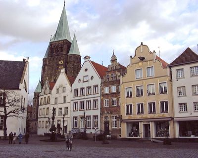
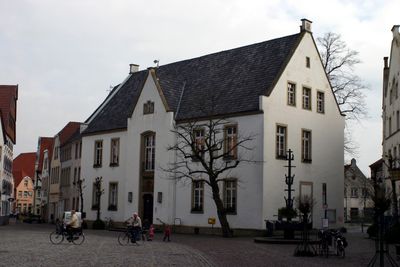
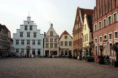
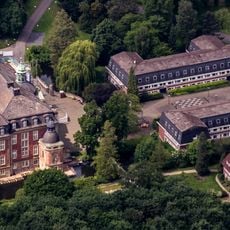
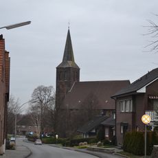
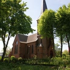
Warendorf is a district capital in North Rhine-Westphalia, positioned along the Ems in the flat Münsterland region. The old town consists of a compact cluster of half-timbered and gabled structures grouped around an elongated market square with a town hall at its center.
A Saxon royal court called Warintharpa was established here around the year 700 and grew into an early medieval trading point. Town rights were granted between 1197 and 1201, after which the marketplace took its present form.
Horse-related activities shape everyday life, with riders passing through streets and stables visible near residential areas. The marketplace serves as a meeting point where locals shop at weekly markets held beneath the old merchant houses.
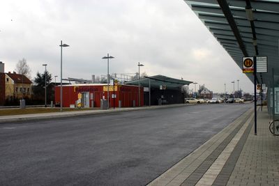
The main railway station lies north of the old town and offers connections to Münster in roughly 20 minutes. Several bus routes run between the station and the marketplace, which can be reached on foot in a few minutes.
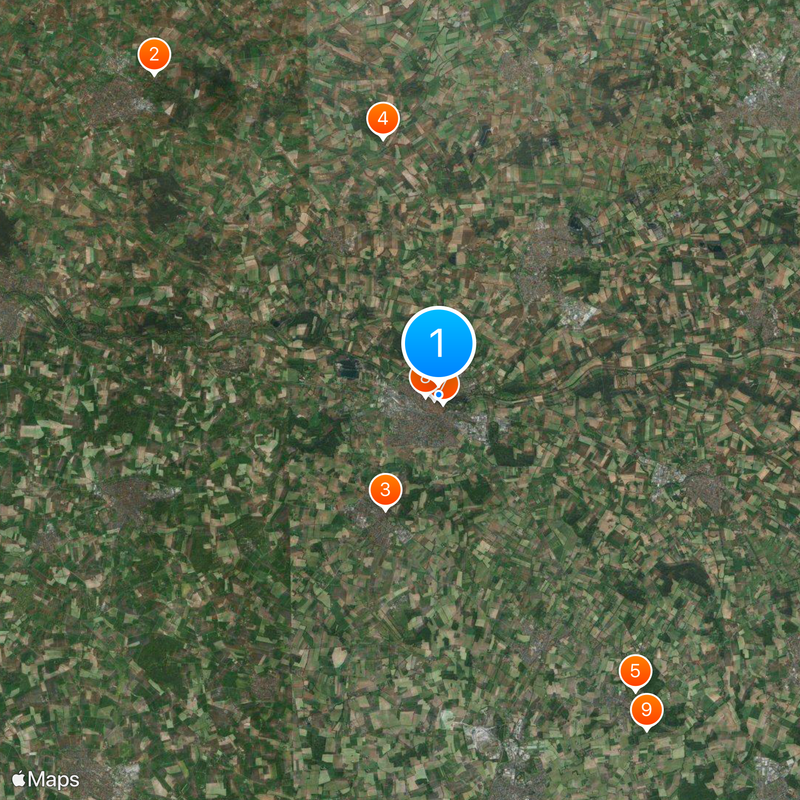
The Westphalian State Stud Farm was founded in 1826 and continues breeding horses on spacious grounds at the edge of town. Visitors can tour the baroque stable buildings and occasionally watch training sessions with the horses.
Location: Warendorf District
Elevation above the sea: 63 m
Shares border with: Sassenberg, Telgte, Everswinkel, Sendenhorst, Ennigerloh, Beelen, Glandorf, Ostbevern
Website: https://warendorf.de
GPS coordinates: 51.95389,7.99333
Latest update: December 4, 2025 23:45
Schloss Loburg
12.6 km
Church of Saint Boniface
4.1 km
Kloster Vinnenberg
8.4 km
Haus Vornholz
11.4 km
St Laurentius
202 m
Westpreußisches Landesmuseum
324 m
Marienkirche
417 m
Ruine Nienburg
12.7 km
St. Johannes der Täufer
1.9 km
Haus Dieck
8 km
St. Margaretha
11.5 km
St. Johannes Evangelist (Sassenberg)
5 km
St. Mariä Himmelfahrt
10.9 km
Kloster Rengering
10.2 km
St. Laurentius
8.4 km
Taufbecken St. Bonifatius (Freckenhorst)
4 km
St. Johannes Baptist
5.9 km
Christuskirche
633 m
Franziskanerkloster Warendorf
327 m
Haus Keuschenburg
11.8 km
Saint Lambertus Church
10.9 km
Waldgebiet Kettelerhorst
12.3 km
Schürenbrinkkapelle
10 km
Johannes-Kirche
13.6 km
Vinnenberger Busch
8.4 km
Mirlenbrink-Holtrup-Vohrener Mark
5.7 km
Zur schmerzhaften Mutter
9.9 km
Alter jüdischer Friedhof
295 mReviews
Visited this place? Tap the stars to rate it and share your experience / photos with the community! Try now! You can cancel it anytime.
Discover hidden gems everywhere you go!
From secret cafés to breathtaking viewpoints, skip the crowded tourist spots and find places that match your style. Our app makes it easy with voice search, smart filtering, route optimization, and insider tips from travelers worldwide. Download now for the complete mobile experience.
A unique approach to discovering new places❞
— Le Figaro
All the places worth exploring❞
— France Info
A tailor-made excursion in just a few clicks❞
— 20 Minutes