Ostbevern, municipality in North Rhine-Westphalia, Germany
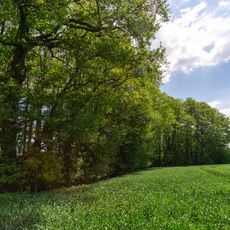
Ostbevern is a municipality in the Warendorf District in North Rhine-Westphalia, situated along the Bever River. The village is made up of brick houses, open fields, and narrow streets, with farming shaping much of the surrounding land.
The settlement appeared in written records in 1088 under the name Beverne and likely split into eastern and western parts during the 12th century. After changing hands several times during the Napoleonic period, it was assigned to Prussia at the Congress of Vienna in 1815.
The name Ostbevern comes directly from the Bever River that runs through the area. Walking through the village, you notice the typical Westphalian red brick buildings that give the streets a consistent, grounded character.
The village is small enough to explore on foot or by bicycle, and the main points of interest like the church and Loburg castle are easy to reach on simple paths. Arriving earlier in the day is a good idea since there is little tourist infrastructure and things can close by mid-afternoon.
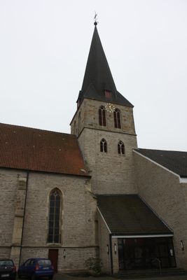
The local church combines a Romanesque choir from the 12th century with a modern wing added in the 1960s, making the contrast between the two sections clearly visible from inside. The parish is dedicated to Saint Cornelius, a patron whose connection to this area goes back to early medieval religious traditions.
The community of curious travelers
AroundUs brings together thousands of curated places, local tips, and hidden gems, enriched daily by 60,000 contributors worldwide.