Weiden in der Oberpfalz, Regional center in Upper Palatinate, Bavaria, Germany.
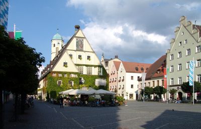
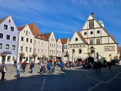
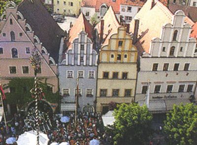
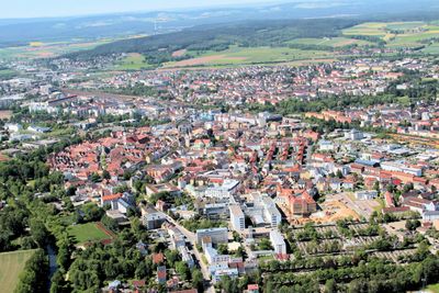
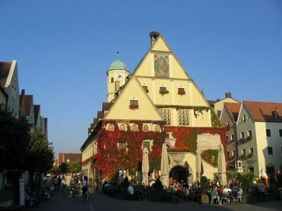
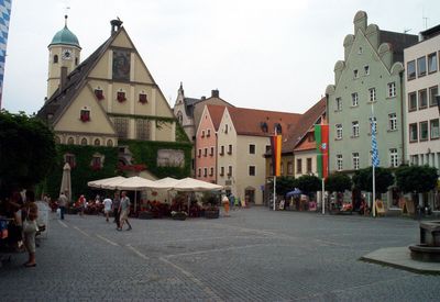
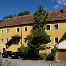
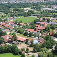
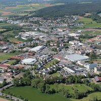
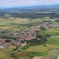
Weiden in der Oberpfalz is a regional center in Upper Palatinate, Bavaria, spreading across 68 square kilometers of Bavarian countryside at 397 meters elevation (1,302 feet). The central marketplace splits into upper and lower sections, while the urban districts of Hammerweg and Altstadt extend from the core.
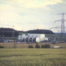
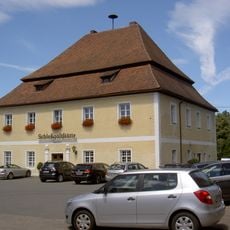
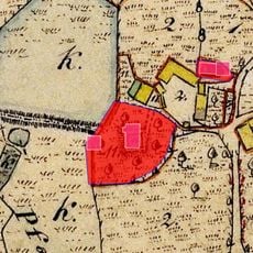
The settlement was first documented in 1241 and developed into a trading center due to its position at the intersection of major commercial routes. The favorable location enabled the exchange of goods between different regions for centuries.
The International Ceramic Museum houses collections reflecting the region's manufacturing traditions of glass, porcelain, and pottery through different periods. The exhibitions show how these craft techniques were passed down and refined over generations.
The central train station connects travelers to Nuremberg, Regensburg, and Munich, while local bus lines serve the urban districts of Hammerweg and Altstadt. The compact town center can be explored on foot, with most points of interest within walking distance from the marketplace.
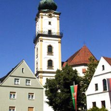
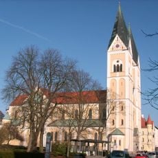
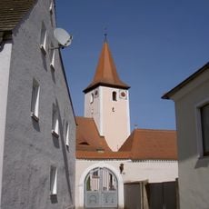
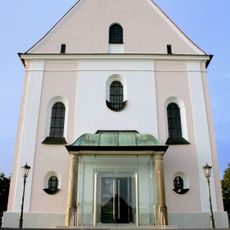
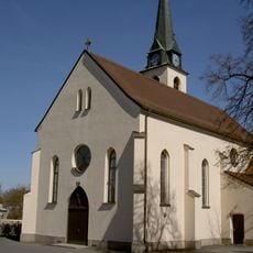
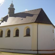
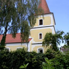
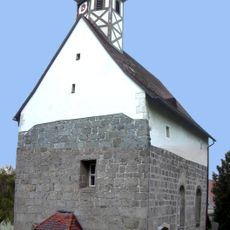
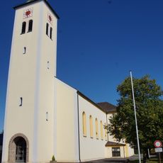
The Protestant Church of St Michael contains an 18th-century altarpiece depicting the birth of Christ within its rococo interior decorations. This blend of Protestant tradition and baroque craftsmanship reflects the confessional diversity of the region.
The community of curious travelers
AroundUs brings together thousands of curated places, local tips, and hidden gems, enriched daily by 60,000 contributors worldwide.