Stutensee, town in Germany
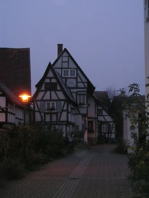
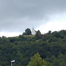
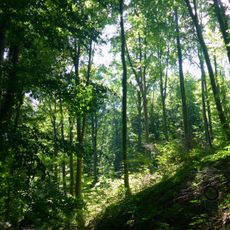
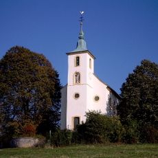
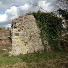
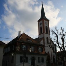
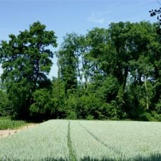
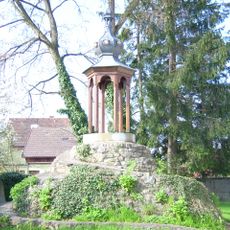
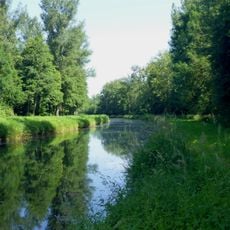
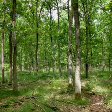
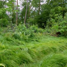
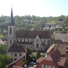
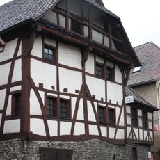
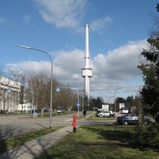
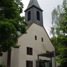
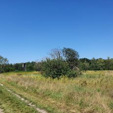
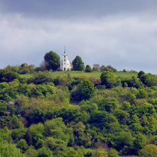
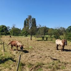
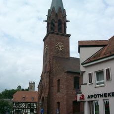
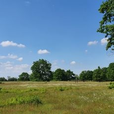
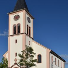
Stutensee is a city in Landkreis Karlsruhe, Baden-Württemberg, formed from several merged communities with residential and commercial areas spread across a flat landscape. The town blends older village centers with contemporary neighborhoods and serves as a regional hub between larger cities.
Stutensee was formed in 1975 through the merger of several smaller communities into a unified city. This reorganization transformed the area into a more cohesive regional center with improved services and economic opportunities.
The city is well connected by public transport to nearby Karlsruhe and other regional centers, making it easy to reach and explore. Visitors will find shops, restaurants, and services distributed across the different town quarters.
The community of curious travelers
AroundUs brings together thousands of curated places, local tips, and hidden gems, enriched daily by 60,000 contributors worldwide.