Weißeritzkreis, Administrative district in Dresden Region, Germany.
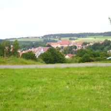
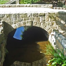
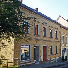
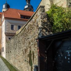
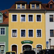
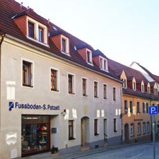
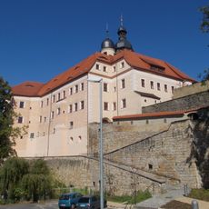
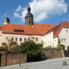
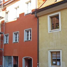
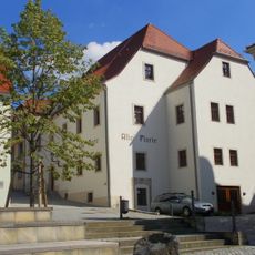
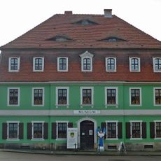
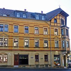
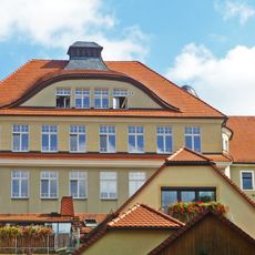
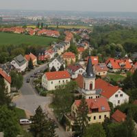
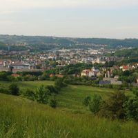
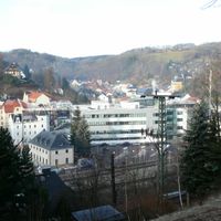
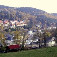
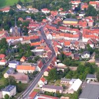
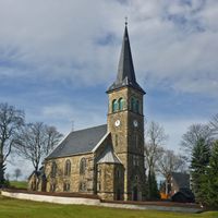
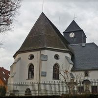
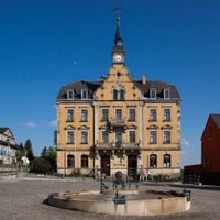
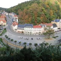
Weißeritzkreis was an administrative district in the Dresden region that included towns like Freital, Glashütte, and the district capital Dippoldiswalde spread across the foothills of the Ore Mountains. The landscape is shaped by the Weißeritz river and its tributaries, which flow through the rolling terrain connecting various communities.
The district was formed in 1994 by merging the former Dippoldiswalde and Freital counties, which had previously operated as separate administrative areas. In 2008 the territory merged with Sächsische Schweiz county to create the larger Sächsische Schweiz-Osterzgebirge district.
The district's coat of arms displays blue lines representing the Weißeritz river, along with mining symbols and a tree reflecting the regional identity.
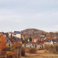
The area is quite hilly with roads that can be winding and require careful driving, especially in the higher mountain regions. Visitors should prepare for variable weather conditions as the higher elevations of the Ore Mountains can be cool and misty.
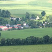
The district lies where two branches of the Weißeritz river converge near Freital, each originating from different mountain sources. Its highest elevation point offers views across terrain marked by several prominent peaks that shape the regional landscape.
Location: Dresden Government Region
Inception: August 1, 1994
Capital city: Dippoldiswalde
Shares border with: Dresden, Sächsische Schweiz,
Website: http://weisseritzkreis.com
GPS coordinates: 50.89333,13.66667
Latest update: December 11, 2025 18:09
Schloss Dippoldiswalde
259 m
St. Nikolai
244 m
Museum for Medieval Mining in the Ore Mountains
259 m
Handels- und Gewerbeschule mit Skulpturenportal, Türblatt und Einfriedung Weißeritzstraße 4
202 m
Bogenbrücke über den Mühlgraben Alte Altenberger Straße 18 (bei)
186 m
Wohnhaus in halboffener Bebauung Bahnhofstraße 3
129 m
Reste der Stadtmauer Karl-Marx-Platz -
210 m
Polish-Saxon Post Milestone Pfortenberg Dippoldiswalde
228 m
Wohnhaus in geschlossener Bebauung Kirchplatz 9
255 m
Rackesches Haus Schuhgasse 17
258 m
Saint Nicholas Church
250 m
Stattliches Wohnhaus mit Eckarkatur Karl-Marx-Platz 1
220 m
Sachgesamtheit Schloss Dippoldiswalde
257 m
'''Schloss Dippoldiswalde''' (Einzeldenkmal zu ID-Nr. 09301353) Kirchplatz 8
257 m
Postamt Dr.-Friedrichs-Straße 5
208 m
Ehemalige Superintendentur, mit Garten Kirchplatz 12
233 m
Wohnhaus Dr.-Friedrichs-Straße 3
154 m
Wohn- und Geschäftshaus, ehemaliges »Stadt-Kaffee« Bahnhofstraße 2; 4
120 m
Postamt Bahnhofstraße 6
110 m
Wohnhaus in geschlossener Bebauung Schuhgasse 19; 21
246 m
Wohnhaus in geschlossener Bebauung Schuhgasse 14
259 m
Sandstein-Treppenstufen zum Mühlgraben historischer Wäscheplatz Gerberplatz 2 (bei)
203 m
Alte Pforte; Gasthaus Pfortenberg 2
194 m
Ehem. Lohgerberei; Lohgerber-, Stadt- und Kreismuseum Freiberger Straße 18
125 m
Vier erhaltene Stadtscheunen Planberg -
158 m
Wohnhaus in Ecklage Bahnhofstraße 7
101 m
Schulgebäude und Turnhalle Alte Altenberger Straße 8
149 m
Wohnhaus Pfortenberg 1
207 mVisited this place? Tap the stars to rate it and share your experience / photos with the community! Try now! You can cancel it anytime.
Discover hidden gems everywhere you go!
From secret cafés to breathtaking viewpoints, skip the crowded tourist spots and find places that match your style. Our app makes it easy with voice search, smart filtering, route optimization, and insider tips from travelers worldwide. Download now for the complete mobile experience.
A unique approach to discovering new places❞
— Le Figaro
All the places worth exploring❞
— France Info
A tailor-made excursion in just a few clicks❞
— 20 Minutes