Dippoldiswalde, Administrative district town in Sächsische Schweiz-Osterzgebirge, Germany
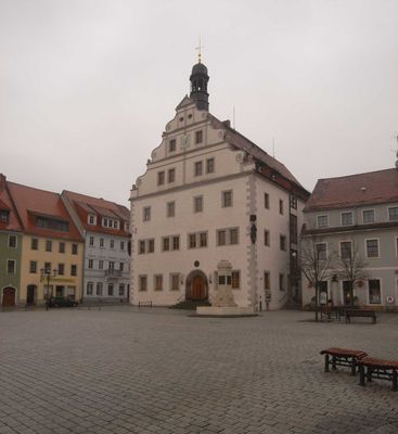
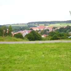
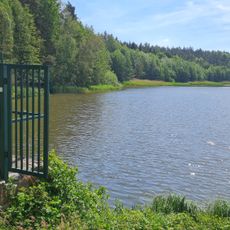
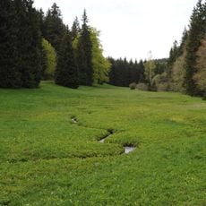
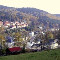
Dippoldiswalde is a town in Sächsische Schweiz-Osterzgebirge that spreads across several districts in a river valley setting. The area features rolling terrain, historic buildings, and a narrow gauge railway line that still operates with steam locomotives.
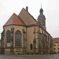
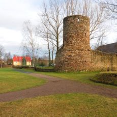
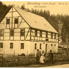
The town was first mentioned in written records in 1218 and grew into an important settlement after mining began in the 15th century. Silver, tin, and coal extraction made the region economically significant for hundreds of years.
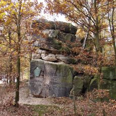
Mining shaped how people here lived and worked for generations, and this heritage remains visible in local traditions and community practices today. The connection to the land and its resources continues to influence how residents view their home.
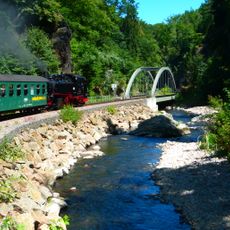
The town connects to surrounding areas via the Weisseritz narrow gauge railway, which runs regularly with historic steam locomotives and suits day trips well. Visitors should know that trains operate on schedule and the journey itself is part of the experience.
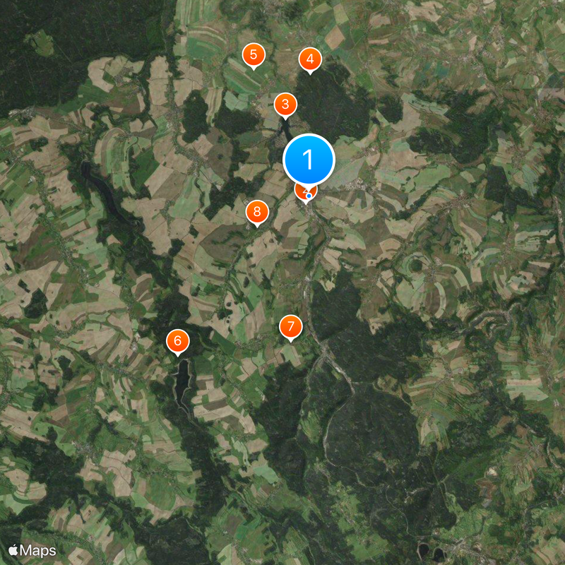
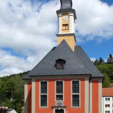
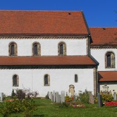
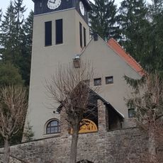
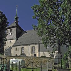
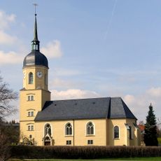
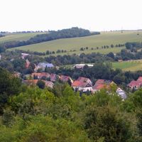
The municipality includes numerous separate districts such as Schmiedeberg, Malter, and Ulberndorf, which together form a sprawling community with different character zones. Each of these parts has its own story and contributes in its own way to the overall character of the place.
The community of curious travelers
AroundUs brings together thousands of curated places, local tips, and hidden gems, enriched daily by 60,000 contributors worldwide.