
Ottersweier, municipality in Germany
Location: Bühl VVG
Location: Rastatt district
Elevation above the sea: 140 m
Website: http://ottersweier.de
GPS coordinates: 48.67111,8.11083
Latest update: March 5, 2025 07:05
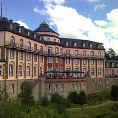
Bühlerhöhe
8.7 km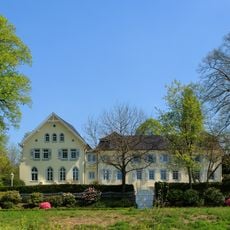
Schloss Aubach
3.7 km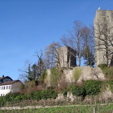
Windeck Castle
3.5 km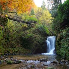
Geroldsau Waterfall
11.2 km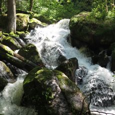
Gertelbach-Wasserfälle
8 km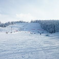
Mehliskopf
9.8 km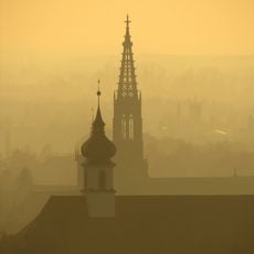
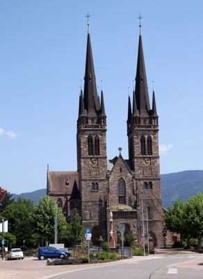
St. Peter und Paul
3.3 km
Burg Neu-Windeck
3.7 km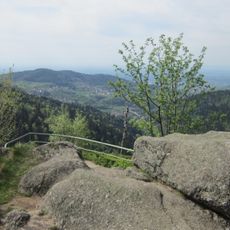
Wiedenfelsen
8.1 km
Falkenfelsen
8.1 km
Hochkopf
8.2 km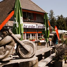
Unterstmatt
8.5 km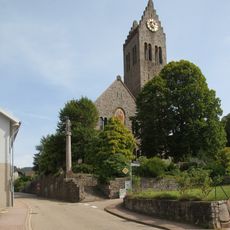
Saint Charles Borromeo Church (Neusatz, Bühl)
3.3 km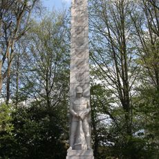
Landes-Feuerwehr-Ehrenmal Baden-Württemberg
6.5 km
Waldhägenich (3 Teilgebiete)
2.9 km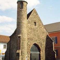
Nikolauskapelle
5.6 km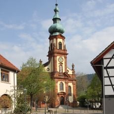
St. Maria
3.5 km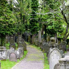
Bühler Judenfriedhof
3.8 km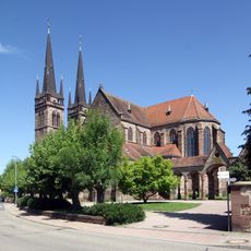
St. Johannes
342 m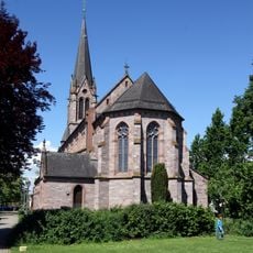
St. Johannes der Täufer (Bühl-Vimbuch)
5.3 km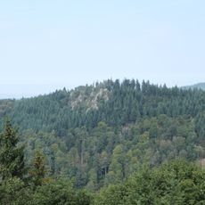
Brockenfelsen
7.7 km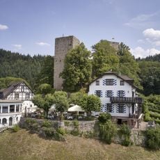
Burg Windeck
3.5 km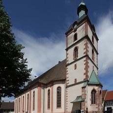
St. Brigitta (Sasbach)
3.8 km
Gasthaus Zum Ochsen
4.3 km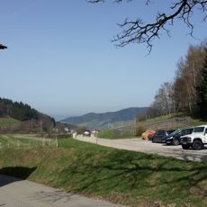
Immenstein
5.6 km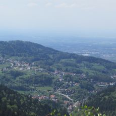
Talschwarzwald zwischen Bühlertal und Forbach
6.3 km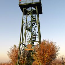
Carl-Netter-Tower
4.7 km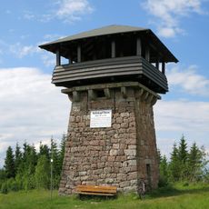
Mehliskopf Tower
9.5 kmReviews
Visited this place? Tap the stars to rate it and share your experience / photos with the community! Try now! You can cancel it anytime.
Discover hidden gems everywhere you go!
From secret cafés to breathtaking viewpoints, skip the crowded tourist spots and find places that match your style. Our app makes it easy with voice search, smart filtering, route optimization, and insider tips from travelers worldwide. Download now for the complete mobile experience.

A unique approach to discovering new places❞
— Le Figaro
All the places worth exploring❞
— France Info
A tailor-made excursion in just a few clicks❞
— 20 Minutes