Straubenhardt, German municipality
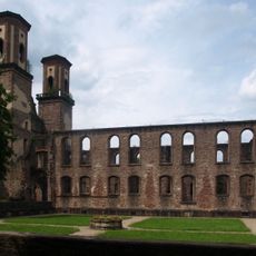
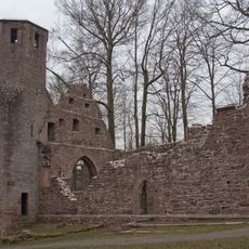
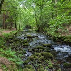
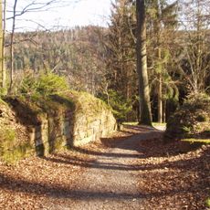
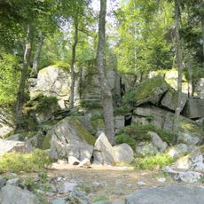
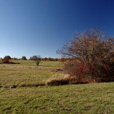
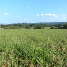
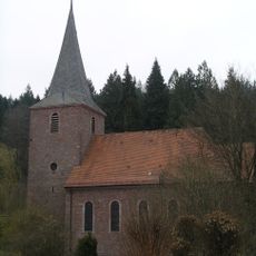
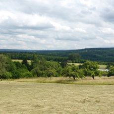
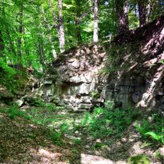
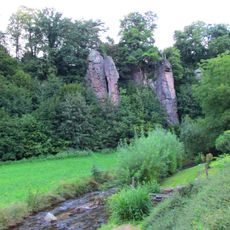
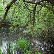
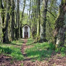
Straubenhardt is a municipality in the Enz district composed of several small village parts that developed on hills since medieval times. The area feels green and quiet, with narrow streets, old stone houses, and forests surrounding the settlements.
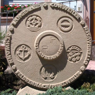
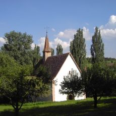
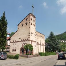
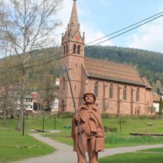
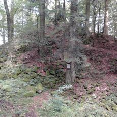
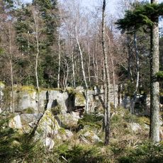
The municipality formed in 1970 through the merger of several small communities to improve their administration and handle shared tasks together. The area was historically controlled by the noble family of Straubenhardt, who built a castle in medieval times and later constructed another in Schwann.
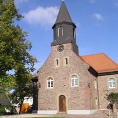
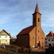
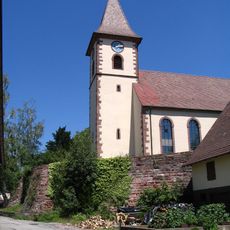
The name reflects an aristocratic family that shaped the region in medieval times. Residents gather for village and church festivals where music, food, and shared moments keep local traditions alive throughout the year.
The municipality has narrow roads and minimal traffic circulation, making it easy to explore on foot and to reach nature quickly from the villages. For daily needs, there are small supermarkets, bakeries, and shops distributed across the different parts.
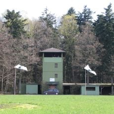
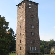
A notable feature is the Schwanner Warte, a tower from which visitors enjoy broad views of the surrounding hills and countryside. This viewpoint reveals the characteristic landscape of the region and invites walks through the natural surroundings.
The community of curious travelers
AroundUs brings together thousands of curated places, local tips, and hidden gems, enriched daily by 60,000 contributors worldwide.