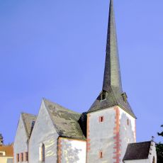
Frohburg, Administrative municipality in Leipzig district, Saxony, Germany.
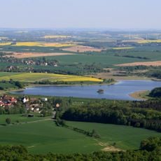
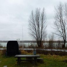
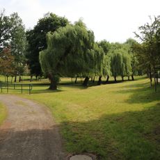
Frohburg is a municipality in the Leipzig district of Saxony that spreads across several village areas and waterways. The administrative center sits in a region connecting Leipzig and Chemnitz, with rail access through the area.
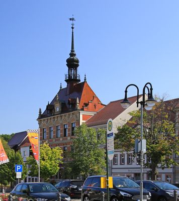
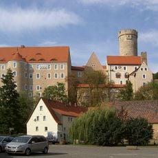
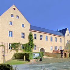
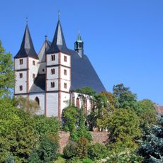
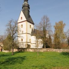
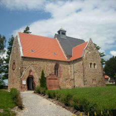
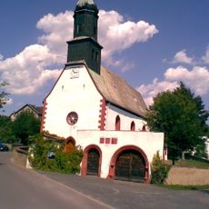
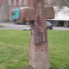
The settlement received its first written mention in 1198, though a local castle dates to the 10th century. Official town status came in 1831, marking a formal transition for the community.
The town carries on a motorcycle racing tradition through the Frohburger Dreieck circuit, which has hosted competitions and shaped local identity for generations. This sport remains central to how residents view their community.
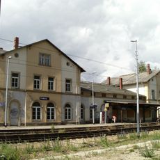
The municipality sits on the railway line running between Neukieritzsch and Chemnitz, with a station right in town. This makes getting to nearby cities straightforward for both residents and visitors.
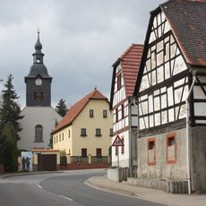
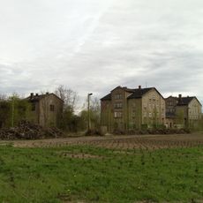
The town expanded by incorporating surrounding villages over several decades, which shaped its current form. Each merger brought new communities into the administrative structure.
The community of curious travelers
AroundUs brings together thousands of curated places, local tips, and hidden gems, enriched daily by 60,000 contributors worldwide.