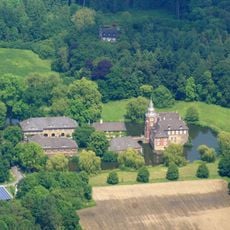
Selm, Medium-sized district municipality in Unna, Germany.
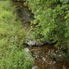
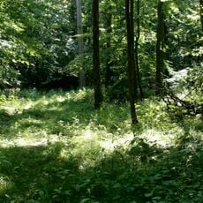
Selm is a medium-sized municipality in Unna district, North Rhine-Westphalia, with an expansive layout and gently rolling terrain. The town divides into several neighborhoods ranging from rural zones to denser residential and commercial areas.
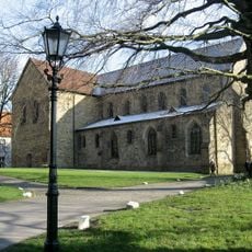
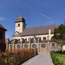
The area received its first written mention in the 9th century under an early form of its name. A major transformation during the 20th century fundamentally changed the population and economic structure.
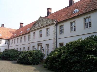
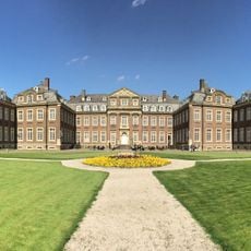
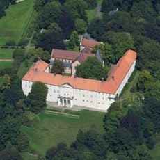
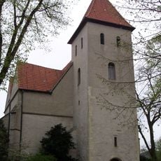
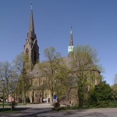
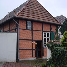
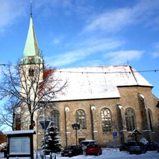
The town has developed from centuries of craft and trade traditions that still shape local identity today. Visitors can experience these roots through older neighborhoods and local events that celebrate traditional skills and practices.
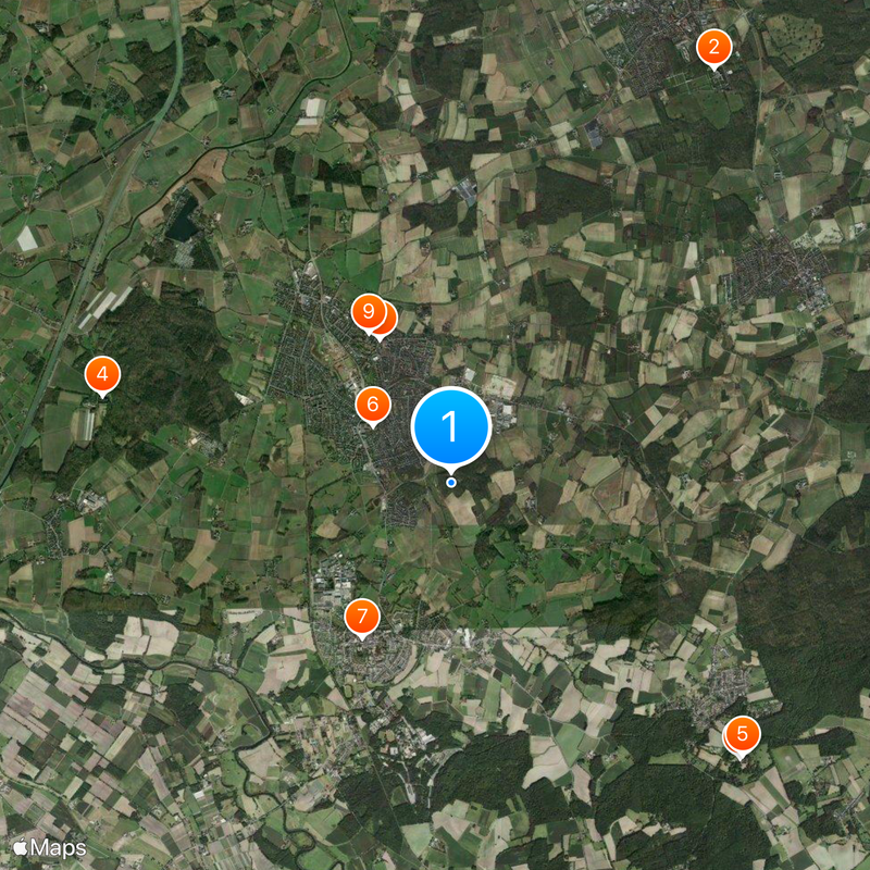
The municipality offers good infrastructure with local services, transport links, and public facilities spread across its neighborhoods. Best orientation comes from the clear layout of residential areas and distinctive markers for each quarter.
Coal mining shaped this area for decades, drawing large numbers of workers and defining local life for generations. This industrial past left deep marks on local culture and community memory.
Location: Unna
Elevation above the sea: 58 m
Website: https://selm.de
GPS coordinates: 51.68333,7.48333
Latest update: December 19, 2025 22:47
Schloss Nordkirchen
6.5 km
Cappenberg Castle
5.3 km
Schloss Sandfort
4.8 km
Stiftskirche Cappenberg
5.3 km
Burg Botzlar
1.3 km
St. Stephanus, Bork
2.4 km
Friedenskirche
2.1 km
Ludgerikirche
2.3 kmHaus Dahl
3.8 km
Synagogue Selm-Bork
2.3 km
Saint Pancratius Church
5.3 kmAlstedder Mark
3.9 kmTiergarten
5.9 km
Funneaue
4.1 kmLippeaue Selm
4.2 kmNetteberge
875 mWegekapelle Selm
2.1 km
Wälder bei Cappenberg-West
3.4 km
Strandbad Ternsche
4.8 kmLSG-Cappenberg
4.5 kmLSG-Waltroper Lippetal/Dortmunder Rieselfelder/Schwarzbach
6.3 kmWegekapelle Selm
2.9 kmLSG-Sundern, nordoestlich der Alstedder Strasse, suedlich der Waltroper Strasse, beiderseits der Bahnlinie in Selm
4.3 kmWaldflächen im Sandforter Forst
4.4 kmLSG-Hassel
3.1 kmLSG-Beifang
1.4 kmLSG-Haus Sandfort
3.6 kmLSG-Wiewelsholz und Wiederott oestlich der Polizeikaserne und der oestliche Teil des Waldgebietes Alstedder Mark in Selm
3.5 kmVisited this place? Tap the stars to rate it and share your experience / photos with the community! Try now! You can cancel it anytime.
Discover hidden gems everywhere you go!
From secret cafés to breathtaking viewpoints, skip the crowded tourist spots and find places that match your style. Our app makes it easy with voice search, smart filtering, route optimization, and insider tips from travelers worldwide. Download now for the complete mobile experience.
A unique approach to discovering new places❞
— Le Figaro
All the places worth exploring❞
— France Info
A tailor-made excursion in just a few clicks❞
— 20 Minutes