Enable Location

We need your location to show you interesting places around you

Discover nearby places

Find interesting locations and hidden gems around you

Precise directions

Get accurate directions and distances to places

Your location is never shared with other users. It's only used when you tap the location button.

Unna

Log in to your account

Start exploring — it's free

Trusted by 62,819 travelers worldwide

Continue with Google
Continue with Apple
or

We will send you a code to connect

By continuing, you accept our Terms and Conditions and our Privacy Policy

Check your inbox

We've sent a pincode in your inbox. Please enter the code below.

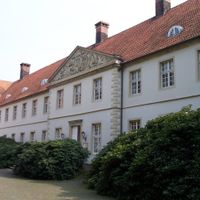
Unna, Rural district in North Rhine-Westphalia, Germany

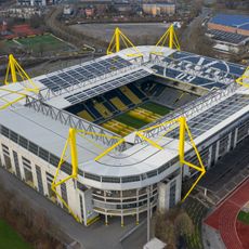
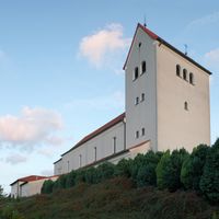
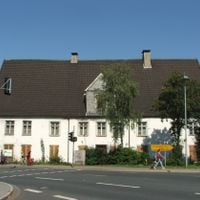
Unna is a rural district in North Rhine-Westphalia located east of Dortmund, situated between the Ruhr and Lippe rivers and comprising ten municipalities. The area includes towns like Bergkamen and Lünen, which serve as local centers for services and economic activity.

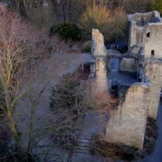
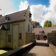
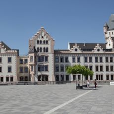
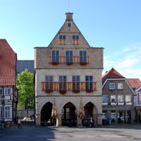
The district originated from the former County of Mark and underwent reorganization in 1929 when the administrative center moved from Hamm to the city of Unna. This change established the modern governance structure that continues today.

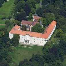
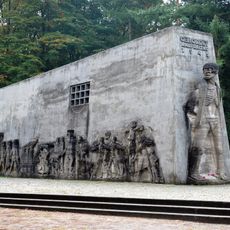
The coat of arms features a red and white checkered pattern combined with a red lion, reflecting historical ties to the Counts of Mark. These symbols remain visible today on official buildings and local monuments throughout the communities.

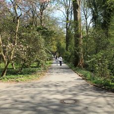
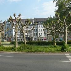
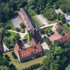
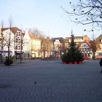
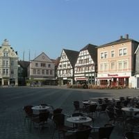
The administrative center in the city of Unna provides central services for visitors and residents across all ten municipalities. The best time to visit the region is during warmer months when the surrounding green spaces and parks are most accessible.

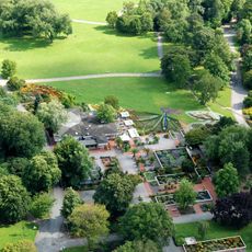
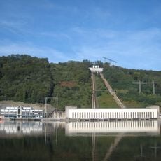
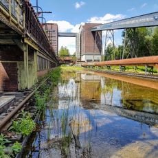
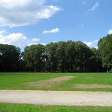
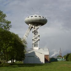
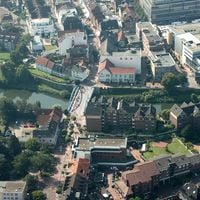
The region marks the eastern edge of the Ruhr industrial area while preserving farmland and natural spaces between its urban centers. This blend of industrial history and agriculture makes it a transition zone between two distinct landscape types.

The community of curious travelers

AroundUs brings together thousands of curated places, local tips, and hidden gems, enriched daily by 60,000 contributors worldwide.

Start exploring
Inception
1930
Capital city
Unna
Elevation above the sea
70 m
Part of
Regionalverband Ruhr
Shares border with
Dortmund, Hagen, Coesfeld, Recklinghausen, Hamm, Soest, Märkischer Kreis
GPS coordinates
51.58000,7.67000
Latest update
December 14, 2025 17:56
« Unna - Rural district in North Rhine-Westphalia, Germany » is provided by Around Us (aroundus.com). Images and texts are derived from Wikimedia project under a Creative Commons license. You are allowed to copy, distribute, and modify copies of this page, under the conditions set by the license, as long as this note is clearly visible.

Discover hidden gems everywhere you go!

From secret cafés to breathtaking viewpoints, skip the crowded tourist spots and find places that match your style. Our app makes it easy with voice search, smart filtering, route optimization, and insider tips from travelers worldwide. Download now for the complete mobile experience.

Around Us App Screenshot

A unique approach to discovering new places

Le Figaro

All the places worth exploring

France Info

A tailor-made excursion in just a few clicks

20 Minutes

Around Us
Travel Guide & Maps
Download

Send to your phone

QR Code
1

Open the camera app on your mobile.

2

Point at the QR code with your camera. A notification will appear.

3

Tap the notification to open the link.