Enable Location

We need your location to show you interesting places around you

Discover nearby places

Find interesting locations and hidden gems around you

Precise directions

Get accurate directions and distances to places

Your location is never shared with other users. It's only used when you tap the location button.

Werne

Log in to your account

Start exploring — it's free

Trusted by 61,908 travelers worldwide

Continue with Google
Continue with Apple
or

We will send you a code to connect

By continuing, you accept our Terms and Conditions and our Privacy Policy

Check your inbox

We've sent a pincode in your inbox. Please enter the code below.

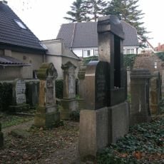
Werne, Historical Hanseatic municipality in Unna district, Germany.

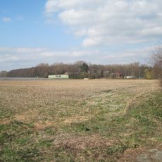
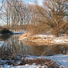
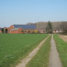
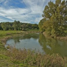
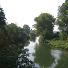
Werne is a medium-sized town in the Unna district at the southern edge of the Münsterland region in North Rhine-Westphalia. The Lippe river runs through it, shaping both the layout of streets and the surrounding landscape.

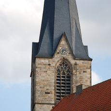
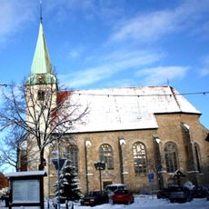
A Benedictine monk named Liudger built a chapel near the Lippe river around 834, marking the start of settlement at this location. This early church grew into a trading center that later became a Hanseatic town.

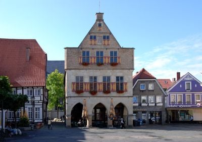
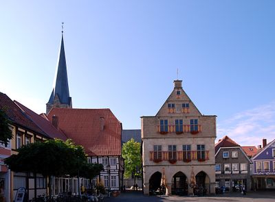
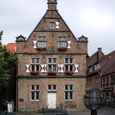
The town hall displays clear features from the Hanseatic period, with its distinctive gabled roofline overlooking the central square. This architectural style shapes how visitors experience the heart of town today.

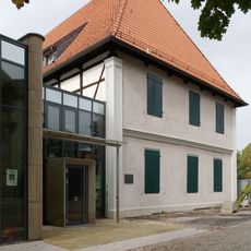
The town center is easy to walk around with a clear layout that leads naturally to the main square. Information for visitors is best found at local tourist information points or at registration offices in the center.

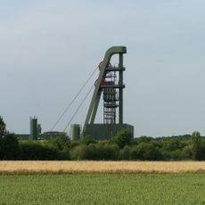
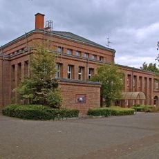
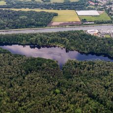
Coal mining from 1899 to 1975 was the backbone of the local economy and shaped the lives of entire generations. The closure of the mines marked a major turning point that forced the town to reinvent itself.

The community of curious travelers

AroundUs brings together thousands of curated places, local tips, and hidden gems, enriched daily by 60,000 contributors worldwide.

Start exploring
Location
Elevation above the sea
60 m
Shares border with
Nordkirchen, Ascheberg, Bergkamen
GPS coordinates
51.66267,7.63553
Latest update
December 14, 2025 19:04
« Werne - Historical Hanseatic municipality in Unna district, Germany » is provided by Around Us (aroundus.com). Images and texts are derived from Wikimedia project under a Creative Commons license. You are allowed to copy, distribute, and modify copies of this page, under the conditions set by the license, as long as this note is clearly visible.

Discover hidden gems everywhere you go!

From secret cafés to breathtaking viewpoints, skip the crowded tourist spots and find places that match your style. Our app makes it easy with voice search, smart filtering, route optimization, and insider tips from travelers worldwide. Download now for the complete mobile experience.

Around Us App Screenshot

A unique approach to discovering new places

Le Figaro

All the places worth exploring

France Info

A tailor-made excursion in just a few clicks

20 Minutes

Around Us
Travel Guide & Maps
Download

Send to your phone

QR Code
1

Open the camera app on your mobile.

2

Point at the QR code with your camera. A notification will appear.

3

Tap the notification to open the link.