Enable Location

We need your location to show you interesting places around you

Discover nearby places

Find interesting locations and hidden gems around you

Precise directions

Get accurate directions and distances to places

Your location is never shared with other users. It's only used when you tap the location button.

Ochtrup

Log in to your account

Start exploring — it's free

Trusted by 62,845 travelers worldwide

Continue with Google
Continue with Apple
or

We will send you a code to connect

By continuing, you accept our Terms and Conditions and our Privacy Policy

Check your inbox

We've sent a pincode in your inbox. Please enter the code below.

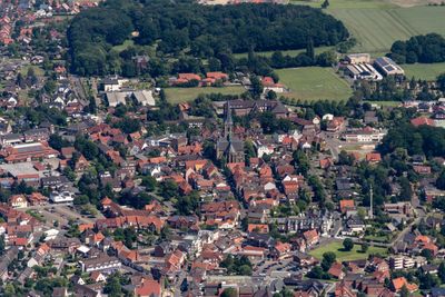
Ochtrup, Administrative center in Steinfurt district, North Rhine-Westphalia, Germany

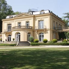
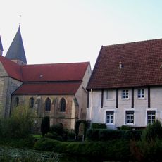
Ochtrup is a town in Steinfurt district in North Rhine-Westphalia and spreads across mixed land with residential, commercial, and green areas. The town has an active center with traditional shops and modern facilities gathered around the historic market square.

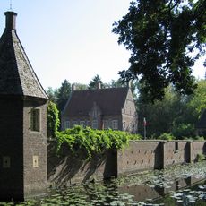
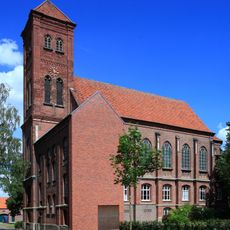
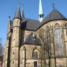
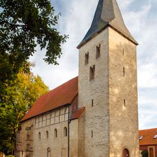
The town was first mentioned in 1143 as Ohtepe and grew from a village into a fortified city with walls and moats. These fortifications shaped the townscape and show the strategic importance of the place during the Middle Ages.

The pottery museum displays works by local craftspeople and preserves ceramics from the 14th and 15th centuries. This collection tells the story of the region's long tradition of ceramic craftsmanship.

The central train station connects the town with regional rail networks and receives regular trains to neighboring cities. Visitors should expect easy walking distances from there, as main destinations are easily reachable on foot.

The Stüwwenkopp weir from 1593 is a rare surviving remnant of the medieval fortification system and can still be seen near the old town boundaries today. This historical structure shows how the town once managed and defended its waters.

The community of curious travelers

AroundUs brings together thousands of curated places, local tips, and hidden gems, enriched daily by 60,000 contributors worldwide.

Start exploring
Location
Elevation above the sea
55 m
Shares border with
Wettringen, Steinfurt, Metelen
GPS coordinates
52.20556,7.19028
Latest update
December 20, 2025 00:52
« Ochtrup - Administrative center in Steinfurt district, North Rhine-Westphalia, Germany » is provided by Around Us (aroundus.com). Images and texts are derived from Wikimedia project under a Creative Commons license. You are allowed to copy, distribute, and modify copies of this page, under the conditions set by the license, as long as this note is clearly visible.

Discover hidden gems everywhere you go!

From secret cafés to breathtaking viewpoints, skip the crowded tourist spots and find places that match your style. Our app makes it easy with voice search, smart filtering, route optimization, and insider tips from travelers worldwide. Download now for the complete mobile experience.

Around Us App Screenshot

A unique approach to discovering new places

Le Figaro

All the places worth exploring

France Info

A tailor-made excursion in just a few clicks

20 Minutes

Around Us
Travel Guide & Maps
Download

Send to your phone

QR Code
1

Open the camera app on your mobile.

2

Point at the QR code with your camera. A notification will appear.

3

Tap the notification to open the link.