Enable Location

We need your location to show you interesting places around you

Discover nearby places

Find interesting locations and hidden gems around you

Precise directions

Get accurate directions and distances to places

Your location is never shared with other users. It's only used when you tap the location button.

Wettringen

Log in to your account

Start exploring — it's free

Trusted by 62,847 travelers worldwide

Continue with Google
Continue with Apple
or

We will send you a code to connect

By continuing, you accept our Terms and Conditions and our Privacy Policy

Check your inbox

We've sent a pincode in your inbox. Please enter the code below.

Wettringen

Wettringen, Municipality in Steinfurt district, Germany.

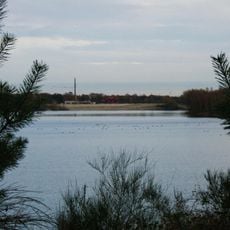
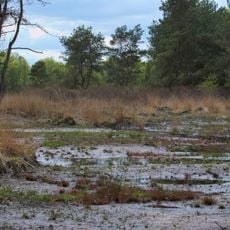
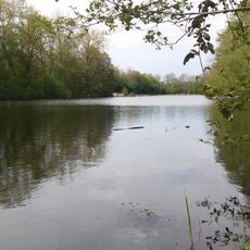
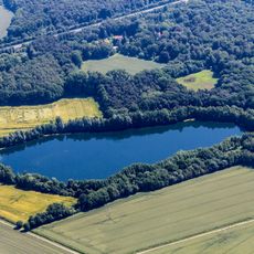
Wettringen is a municipality in Steinfurt district, nestled in the agricultural landscapes of Münsterland. The settlement is crossed by the rivers Aa and Vechte, which shape the flat, green surroundings.

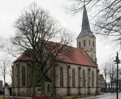
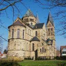
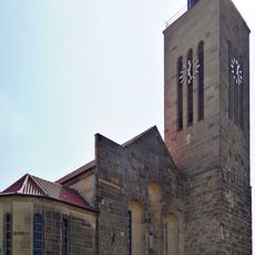
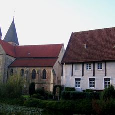
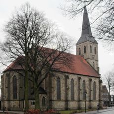
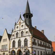
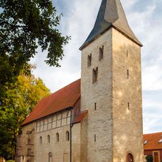
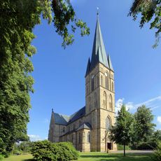
The municipality developed from settlement in this flat region of Westphalia, shaped by river systems and farming traditions. The St. Petronella Parish Church stands as a key landmark in the area's religious heritage and growth.

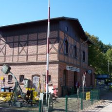
The Heimathaus Ahlers displays objects from everyday rural life, showing how farming families and craftspeople worked and lived in the region. Visitors can learn about the trades and techniques that shaped local traditions over time.

The municipality connects well to the Münsterland cycling network, with clear route signs and rest stops for cyclists. The flat terrain makes the area ideal for leisurely bike rides through farmland and along the rivers.

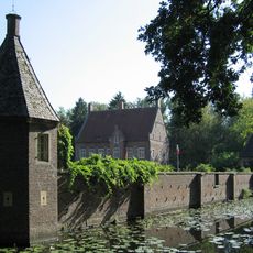
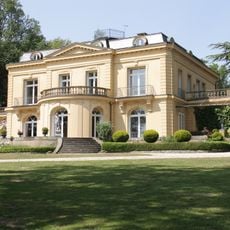
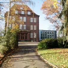
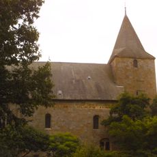
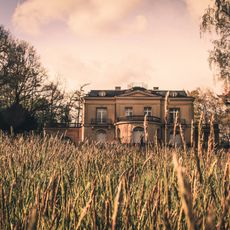
Villa Jordan is an architectural example of rural building styles once common among the region's prosperous landowners. The house demonstrates how wealthy farmers and their families settled in the area and shaped their homes.

The community of curious travelers

AroundUs brings together thousands of curated places, local tips, and hidden gems, enriched daily by 60,000 contributors worldwide.

Start exploring
Location
Elevation above the sea
49 m
Shares border with
Neuenkirchen, Ochtrup, Salzbergen, Steinfurt
GPS coordinates
52.20833,7.31667
Latest update
December 14, 2025 20:24
« Wettringen - Municipality in Steinfurt district, Germany » is provided by Around Us (aroundus.com). Images and texts are derived from Wikimedia project under a Creative Commons license. You are allowed to copy, distribute, and modify copies of this page, under the conditions set by the license, as long as this note is clearly visible.

Discover hidden gems everywhere you go!

From secret cafés to breathtaking viewpoints, skip the crowded tourist spots and find places that match your style. Our app makes it easy with voice search, smart filtering, route optimization, and insider tips from travelers worldwide. Download now for the complete mobile experience.

Around Us App Screenshot

A unique approach to discovering new places

Le Figaro

All the places worth exploring

France Info

A tailor-made excursion in just a few clicks

20 Minutes

Around Us
Travel Guide & Maps
Download

Send to your phone

QR Code
1

Open the camera app on your mobile.

2

Point at the QR code with your camera. A notification will appear.

3

Tap the notification to open the link.