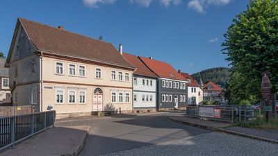
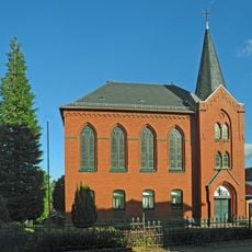
Bad Tabarz, municipality of Germany
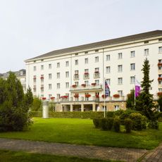
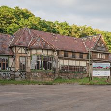
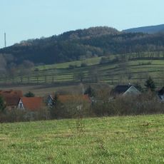
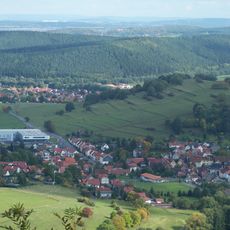
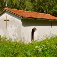
Bad Tabarz is a Kneipp spa town near Gotha in Thuringia, positioned below Inselsberg mountain and known for natural springs containing radon gases. The town provides hotels and holiday apartments, a modern wellness center called TABBS with pools and saunas, and Kneipp treatment facilities offering traditional water therapies.
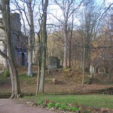
The town emerged as a spa destination in the late 1800s when visitors came to benefit from natural radon radiation and pure mountain air. Kneipp traditions took root here and continue today, with the place steadily building modern wellness services alongside its time-honored healing practices.
The name Bad points to the town's healing springs, while Kneippkurort honors Sebastian Kneipp, whose methods have been practiced here for more than a century. Visitors can experience traditional water treatments at the Kneipp facilities, where historical healing practices remain part of daily wellness routines.
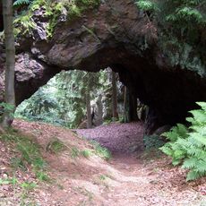
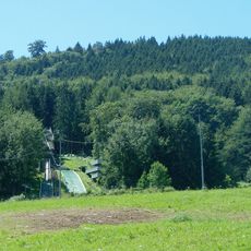
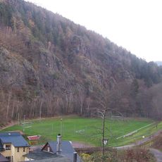
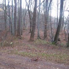
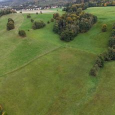
The town sits at elevations between roughly 420 and 920 meters (1,380 and 3,020 feet) and suits stays of several days to fully experience the wellness facilities and hiking trails. The surroundings can be explored year-round, with forest walks in summer and winter sports including skiing on nearby slopes.
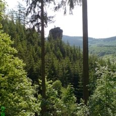
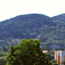
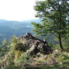
Inselsberg mountain features a tower offering far-reaching views over forests and distant peaks including the Brocken. The area also draws climbers to well-known rock formations such as Aschenbergstein and the Trusetal climbing region.
The community of curious travelers
AroundUs brings together thousands of curated places, local tips, and hidden gems, enriched daily by 60,000 contributors worldwide.