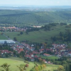
Datenberg, Mountain summit in Thuringia, Germany.
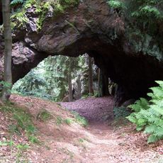
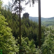
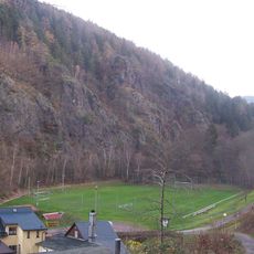
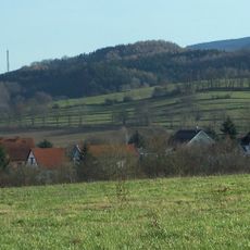
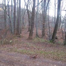
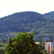
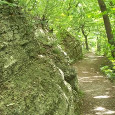
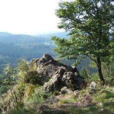
Datenberg is a 641-meter-high summit in Thuringia, Germany, with forested slopes and distinctive rock formations within the Thuringian Forest reserve. The landscape displays traces of quarrying operations and striking geological features that shape the mountain's appearance.
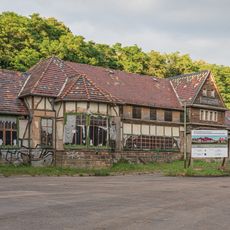
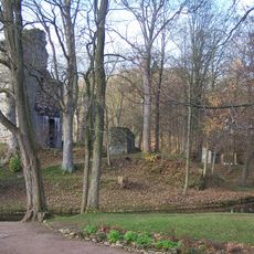
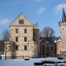
The area was once defined by two fortresses, Leuchtenburg and Stolzenburg, before the mountain shifted to serving as a porphyry quarry operation. This transformation shows how land use changed across different periods.
The north slope holds a rhododendron park created by Tabarz residents as a way to care for the natural surroundings. Visitors enjoy walking through this space to see the flowering plants up close.
The summit is accessible via marked hiking paths that connect to the Rennsteig long-distance trail, with several starting points available. Restaurants in the Lauchagrund valley at the foot provide places to rest and have refreshments during a visit.
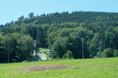
The mountain features a downhill cycling track in its upper section, and narrow valleys on either side called Mühlgrund and Lauchagrund frame the slopes. These two valleys create an interesting landscape shape around the mountain.
The community of curious travelers
AroundUs brings together thousands of curated places, local tips, and hidden gems, enriched daily by 60,000 contributors worldwide.