Burg Torstein, Castle ruin in Bad Tabarz, Germany
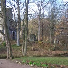
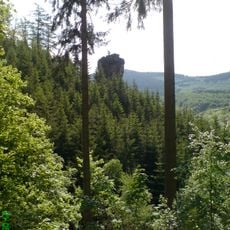
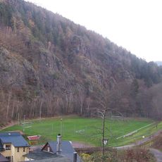
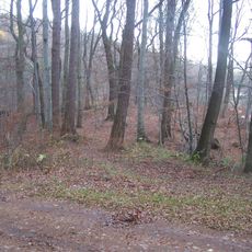
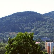
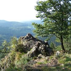
Burg Torstein is a ruined spur castle on a 566 m rocky spur of the Kleiner Wagenberg, about 80 m above the Lauchagrund and 3 km southwest of Tabarz. The site measures roughly 250 by 80 m. An 80 m earthen rampart cuts across the spur near the Dürre Wiese shelter, and after about 150 m the main rampart with a preceding ditch arcs over the northern edge. The interior is overgrown, and a hiking path passes through the Torfelsen rock at the eastern edge.
A stone hammer found during forestry work indicates the site was a walled hillfort of the Urnfield culture. Numerous sunken paths on the southeast slope point to a second phase as a high medieval barrier fort, probably supplementing Leuchtenburg about 1 km away. Around 1880 the local historian Carl Lerp recorded that a narrow rock fissure was widened by blasting on the orders of Duke Ernst of Gotha to create a cave-like shelter at his hunting camp.
The name Torstein comes from a natural porphyry rock formation on the northern side of Kleiner Wagenberg. This distinctive stone gate was a landmark that shaped how people understood and used this mountain location.
Access to the castle is from a shelter at Dürre Wiese, from which a path leads upward to the site. The walk is straightforward and takes visitors directly to the main fortified area.
A stone hammer found during forestry work points to the site being used as an urnfield-period rampart, long before the medieval fortification. The many hollow ways on the southeast slope mark a later phase as a high-medieval blocking castle, probably supplementing the Leuchtenburg about 1 km away.
The community of curious travelers
AroundUs brings together thousands of curated places, local tips, and hidden gems, enriched daily by 92,641 contributors worldwide.