Langenberg, Mountain summit in Winterberg, Germany
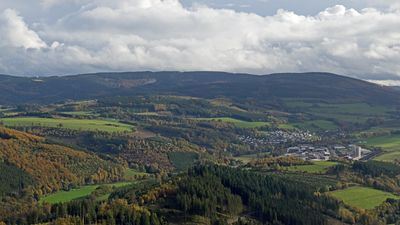
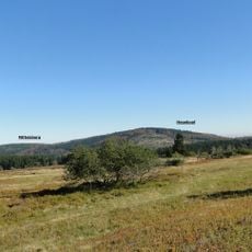
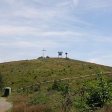
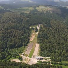
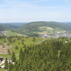
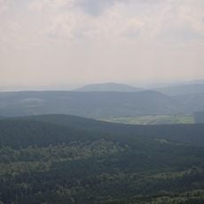
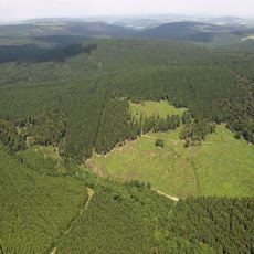
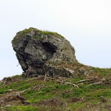
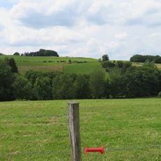
Langenberg is a summit reaching 843 meters in the Rothaargebirge range, located on the border between North Rhine-Westphalia and Hesse. The slopes surrounding the peak are densely forested, while the broader summit area opens toward the east into heathland.
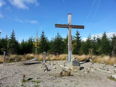
The location was marked as a triangulation point in the German Primary Triangulation Network by surveyors. It has served for many decades as a reference for mapmakers and later became an important waypoint for hikers exploring the mountain region.
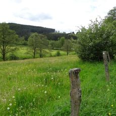
The Rothaarsteig hiking route passes near this summit, where a marker shows its importance as the highest point in North Rhine-Westphalia. Hikers often use the location as a reference point on longer journeys through the area.
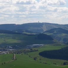
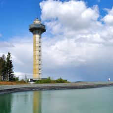
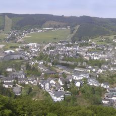
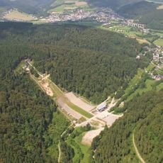
The summit can be reached on foot from either Winterberg or Willingen, both offering marked trails and parking facilities. Routes vary in difficulty, so hikers should plan ahead based on their fitness level.
The flat summit stands out from the steep terrain all around it and offers open views toward the east over the heathland. This mix of forest and open heath makes the location particularly appealing to photographers and nature observers.
The community of curious travelers
AroundUs brings together thousands of curated places, local tips, and hidden gems, enriched daily by 60,000 contributors worldwide.