Enable Location

We need your location to show you interesting places around you

Discover nearby places

Find interesting locations and hidden gems around you

Precise directions

Get accurate directions and distances to places

Your location is never shared with other users. It's only used when you tap the location button.

Biebergemünd

Log in to your account

Start exploring — it's free

Trusted by 62,012 travelers worldwide

Continue with Google
Continue with Apple
or

We will send you a code to connect

By continuing, you accept our Terms and Conditions and our Privacy Policy

Check your inbox

We've sent a pincode in your inbox. Please enter the code below.

Biebergemünd, Municipality in Spessart region, Hesse, Germany

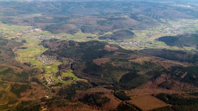
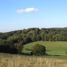
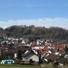
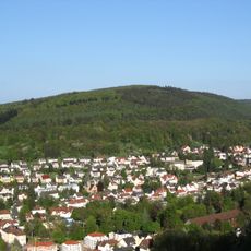
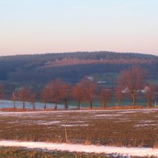
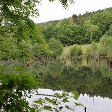
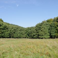
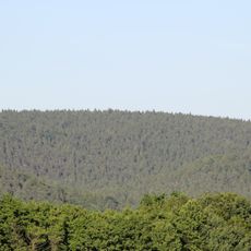
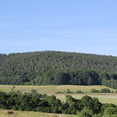
Biebergemünd sits in a forest-dominated landscape with rolling hills ranging from 140 to 250 meters in elevation, where forests cover approximately 70 percent of the territory. The environment is characterized by continuous woodlands interspersed with small valleys and clearings.

The settlement of Hegersfeld received its first written mention in 886, with Wirtheim and Kassel documented in a gift charter from Otto II in 976. Early settlement and development of the region followed the influence of Frankish rule.

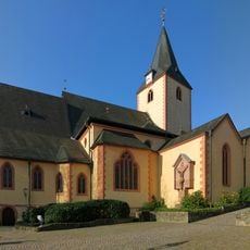
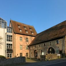
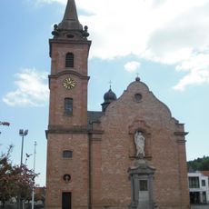
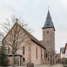
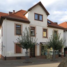
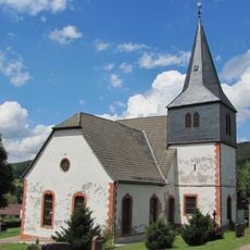
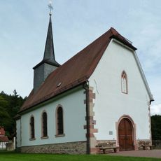
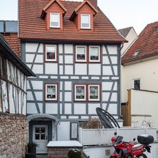
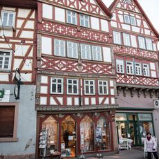
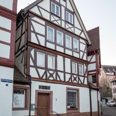
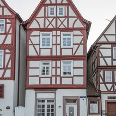
The Gothic parish church of Bieber was rebuilt during the 17th and 18th centuries and displays a pulpit from 1797, connecting visually to a medieval chapel perched on Burgberg hill. These structures give the core village its character today.

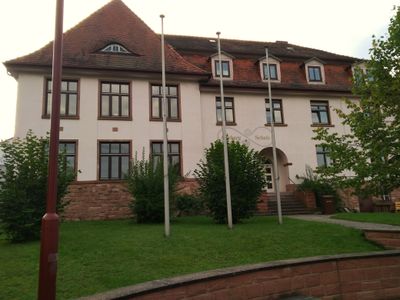
The municipality operates a digital citizen information portal that allows online scheduling for visits to the registration office. It also maintains communication channels through social media for public inquiries.

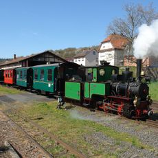
Mining operations documented from 1494 onward extracted multiple metals including silver, copper, lead, and cobalt from underground deposits. This industrial activity transformed what was once a simple forester village into a working community.

The community of curious travelers

AroundUs brings together thousands of curated places, local tips, and hidden gems, enriched daily by 60,000 contributors worldwide.

Start exploring
Inception
1970
Elevation above the sea
167 m
Shares border with
Jossgrund, Flörsbachtal, Wächtersbach, Wiesener Forst, Westerngrund, Kleinkahl
GPS coordinates
50.16667,9.28333
Latest update
December 7, 2025 10:07
« Biebergemünd - Municipality in Spessart region, Hesse, Germany » is provided by Around Us (aroundus.com). Images and texts are derived from Wikimedia project under a Creative Commons license. You are allowed to copy, distribute, and modify copies of this page, under the conditions set by the license, as long as this note is clearly visible.

Discover hidden gems everywhere you go!

From secret cafés to breathtaking viewpoints, skip the crowded tourist spots and find places that match your style. Our app makes it easy with voice search, smart filtering, route optimization, and insider tips from travelers worldwide. Download now for the complete mobile experience.

Around Us App Screenshot

A unique approach to discovering new places

Le Figaro

All the places worth exploring

France Info

A tailor-made excursion in just a few clicks

20 Minutes

Around Us
Travel Guide & Maps
Download

Send to your phone

QR Code
1

Open the camera app on your mobile.

2

Point at the QR code with your camera. A notification will appear.

3

Tap the notification to open the link.