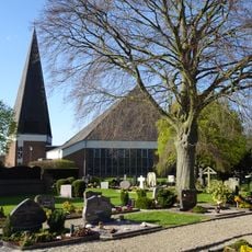
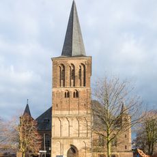
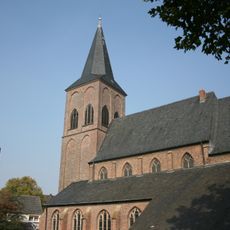
Rees, River town in Kleve District, Germany.
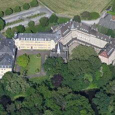
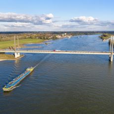
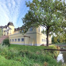
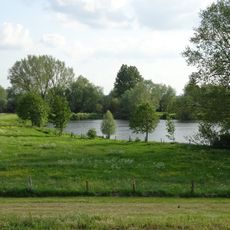
Rees sits on the right bank of the Rhine River in North Rhine-Westphalia, east of Kleve and shaped by its location on the water. The town stretches across a considerable area, with the river defining its landscape and connections to nearby Dutch regions.
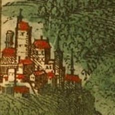
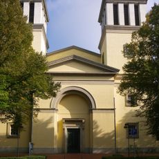
The town received city rights in 1228 from Archbishop Heinrich I von Müllenark of Cologne, marking its official establishment. This charter transformed it into an important trading point along the Rhine route.
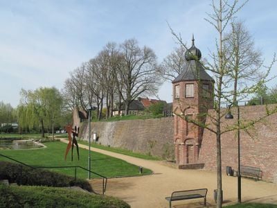
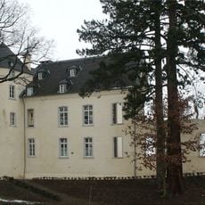
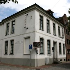
The Koenraad Bosman Museum displays exhibitions about regional history, while the sculpture park shows works by German and Dutch artists. Visitors can experience the artistic connection between the two neighboring countries here.
The Empel-Rees train station connects the town to major cities, while two ferries carry pedestrians and cyclists across the Rhine. These transport options make it easy to reach and leave the town.
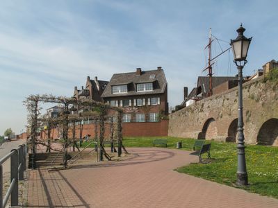
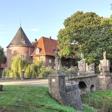
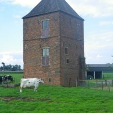
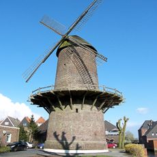
The Mühlenturm was built in 1470 as both a windmill and defensive structure, and it remains the highest tower in the medieval fortification system. This dual purpose shows how people cleverly combined function and protection in a single building.
Location: Kleve
Location: North Rhine-Westphalia
Elevation above the sea: 21 m
Shares border with: Emmerich am Rhein, Kalkar
Website: https://stadt-rees.de
GPS coordinates: 51.76250,6.39778
Latest update: December 17, 2025 09:52
Wunderland Kalkar
4.9 km
Haus Aspel
2.7 km
Burg Boetzelaer
5.1 km
Rheinbrücke Rees-Kalkar
1.7 km
Burg Monterberg
7.9 km
Schloss Bellinghoven
6.2 km
Haus Empel
3.7 km
Schloss Hueth
5.9 kmCastrum Burginatium
7.7 km
Schloss Sonsfeld
5.6 km
St. Mariä Himmelfahrt
516 m
Battenbergturm
5.2 km
NSG Reeser Schanz
2.1 kmHubschrauberlandeplatz Kalkar
5.2 km
Burg Werth
10.1 km
Koenraad-Bosman-Museum
356 m
St. Vincentius
6.7 km
Bienener Altrhein, Millinger Meer, Hurler Meer und Empeler Meer
5.3 km
St. Peter und Paul
10.1 km
St. Lambertus
5.4 km
St. Georg
4.5 kmHaus Averforth
5.9 km
Sankt Peter und Paul
6.2 km
Turmwindmühle Werth
9.8 kmNSG Gut Grindt u. NSG Rheinaue zw. Km 830,7 - 833,2 , nur Teilfl.
6.8 kmZisterzienserinnenkloster Schledenhorst (vorher Empel)
6.3 km
Hetter-Millinger Bruch
7.6 km
Grietherorter Altrhein
6.6 kmVisited this place? Tap the stars to rate it and share your experience / photos with the community! Try now! You can cancel it anytime.
Discover hidden gems everywhere you go!
From secret cafés to breathtaking viewpoints, skip the crowded tourist spots and find places that match your style. Our app makes it easy with voice search, smart filtering, route optimization, and insider tips from travelers worldwide. Download now for the complete mobile experience.
A unique approach to discovering new places❞
— Le Figaro
All the places worth exploring❞
— France Info
A tailor-made excursion in just a few clicks❞
— 20 Minutes