
Ruwer/Eitelsbach, human settlement in Germany
Location: Trier
Elevation above the sea: 130 m
GPS coordinates: 49.78560,6.70972
Latest update: March 3, 2025 00:17
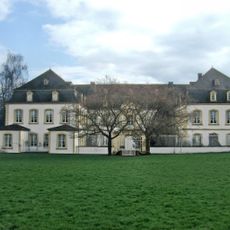
Quinter Schloss
4.3 km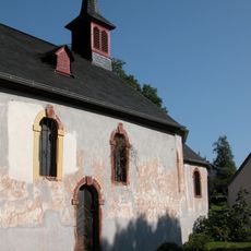
St. Jost, Trier
3.8 km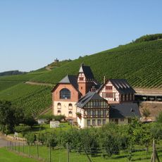
Staatliche Weinbaudomäne Trier
3.7 km
Nells Ländchen
3.5 km
Burg Pfalzel
1.2 km
Pfalzel Stiftskirche
1.2 km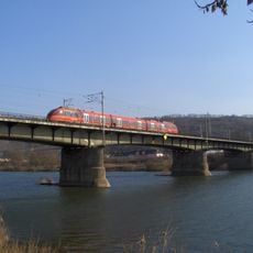
Rail transport bridge Trier-Pfalzel
2.1 km
Dominikaner-Weingut C. von Nell-Breuning
2.9 km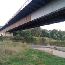
Moselbrücke Ehrang
1.8 km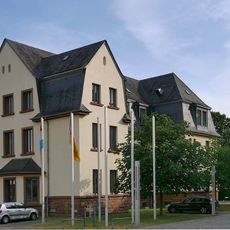
Jaeger barracks
4.1 km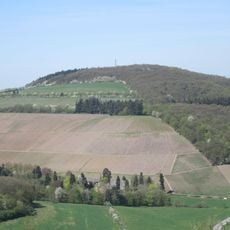
Montagne Verte
1.4 km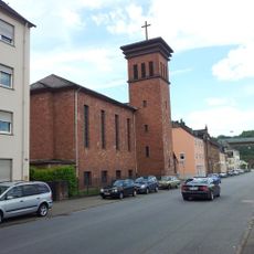
Protestant Church
2.6 km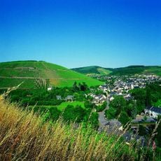
Kaseler Nieschen
3 km
Verteilerkreis Trier
3.5 km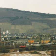
Ehrang station
2.5 km
Duisburger Hof (Trier-Eitelsbach)
642 m
Kenner Flur
2.4 km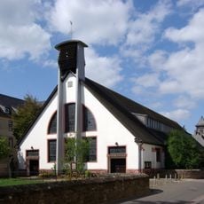
St. Ambrosius (Trier)
4.3 km
Hangbrücke Schweich
4.2 km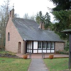
Protestant Church
1.8 km
Fährturm
4.3 km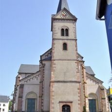
Saint Clemens Church (Ruwer)
36 m
St. Martin
1.4 km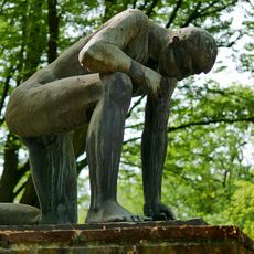
Denkmal für die Opfer der Gewaltherrschaft
4.3 km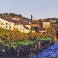
Ruwerer Felsenmühle
350 m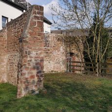
Ortsbefestigung Ehrang
3.3 km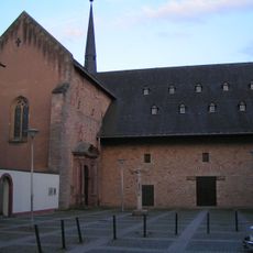
Kirchplatz
1.2 km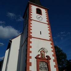
St. Margareta
1.9 kmVisited this place? Tap the stars to rate it and share your experience / photos with the community! Try now! You can cancel it anytime.
Discover hidden gems everywhere you go!
From secret cafés to breathtaking viewpoints, skip the crowded tourist spots and find places that match your style. Our app makes it easy with voice search, smart filtering, route optimization, and insider tips from travelers worldwide. Download now for the complete mobile experience.

A unique approach to discovering new places❞
— Le Figaro
All the places worth exploring❞
— France Info
A tailor-made excursion in just a few clicks❞
— 20 Minutes