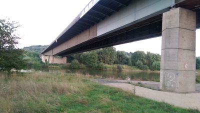
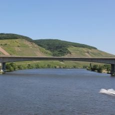
Moselbrücke Ehrang, Road bridge in Rhineland-Palatinate, Germany
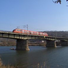
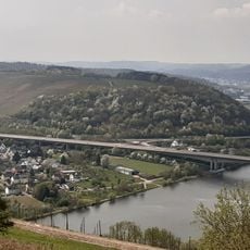
The Moselbrücke Ehrang is a road bridge that crosses the Moselle River and a motorway while connecting the districts of Trier-Ehrang and Kenn. The structure spans approximately 600 meters and carries tens of thousands of vehicles daily, while a separate path for pedestrians and cyclists runs along its northern side.
The construction of this bridge was part of post-war infrastructure modernization and was completed in 1968. Its opening significantly improved traffic connections between the two municipalities.
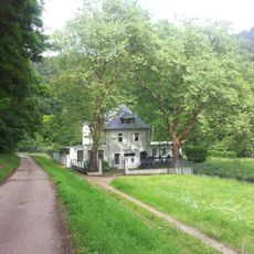
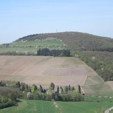
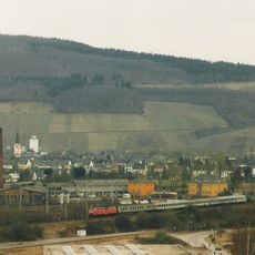
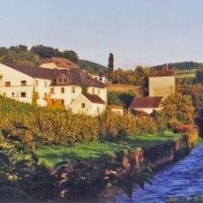
The bridge links two areas of a renowned wine region where vintners in the surrounding slopes have cultivated Riesling using traditional methods for generations. This work continues to shape the landscape around the Moselle today.
The structure operates throughout the day and accommodates both car traffic and pedestrians and cyclists. The northern side with its separate path connects to the well-known Moselle cycling route and offers a convenient option for a longer bike ride along the river.
In the 2010s, safety concerns were identified that led to thorough evaluations of the bridge structure. These assessments sparked discussions about possible renovations or replacement, a topic that remains relevant for the region.
The community of curious travelers
AroundUs brings together thousands of curated places, local tips, and hidden gems, enriched daily by 60,000 contributors worldwide.