
Silz, Rhineland-Palatinate
Silz, Rhineland-Palatinate, municipality of Germany
Location: Südliche Weinstraße
Elevation above the sea: 216 m
Website: http://silz.de
GPS coordinates: 49.14750,7.95139
Latest update: March 19, 2025 05:40
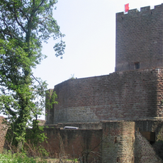
Landeck Castle
4.1 km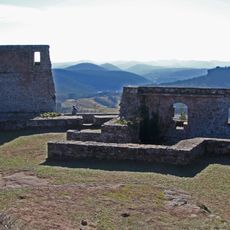
Lindelbrunn Castle
4 km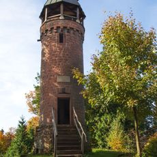
Martinsturm
2.8 km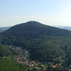
Rehberg
4 km
Südliche Weinstraße Wildlife Park
1.6 km
Schlössel
4.1 km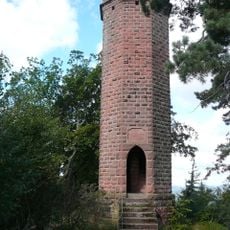
Rehberg tower
4 km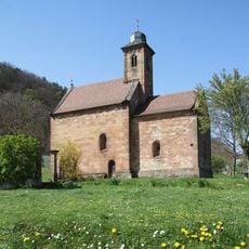
Nikolauskapelle (Klingenmünster)
4.6 km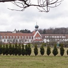
Kloster Liebfrauenberg
5.2 km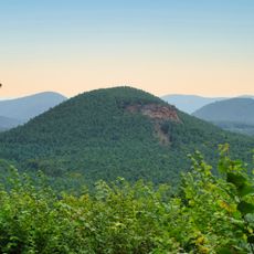
Rötzenberg
3.2 km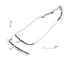
Heidenschuh
3.5 km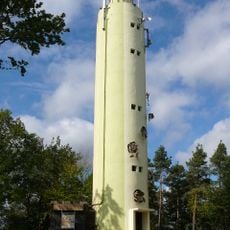
Stäffelsberg Tower
6.6 km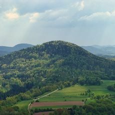
Ebersberg
4.3 km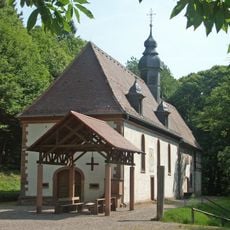
Kolmerberg-Kapelle (Dörrenbach)
6.1 km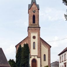
St. Gallus
3.9 km
Town hall Dörrenbach
6.5 km
St. Martin
6.4 km
Klettererhütte
4.7 km
Kleiner Hahnstein
3.5 km
Ochsensteiner Schloss
5.1 km
Haardtrand - Steinbühl
5.3 km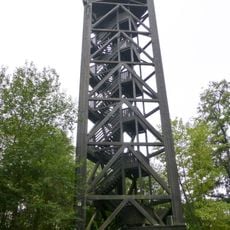
Bad Bergzabern Observation Tower
5.7 km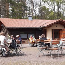
Wasgauhütte
6.1 km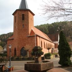
Allerheiligen-Kirche (Lug/Pfalz)
5.5 km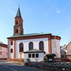
Church of Saint Martin in Stein, Gossersweiler-Stein
1.4 km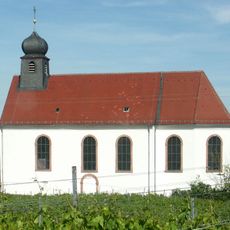
St. Dionysius
4.6 km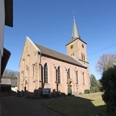
Protestant church in Vorderweidenthal
5.7 km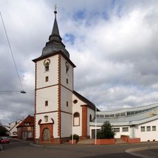
Church of Saint Cyriacus in Gossersweiler
2.4 kmReviews
Visited this place? Tap the stars to rate it and share your experience / photos with the community! Try now! You can cancel it anytime.
Discover hidden gems everywhere you go!
From secret cafés to breathtaking viewpoints, skip the crowded tourist spots and find places that match your style. Our app makes it easy with voice search, smart filtering, route optimization, and insider tips from travelers worldwide. Download now for the complete mobile experience.

A unique approach to discovering new places❞
— Le Figaro
All the places worth exploring❞
— France Info
A tailor-made excursion in just a few clicks❞
— 20 Minutes