Rötzenberg, Mountain summit in Rhineland-Palatinate, Germany
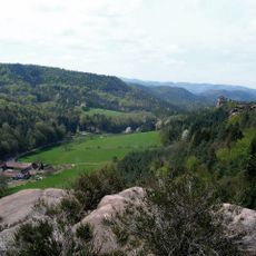
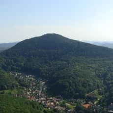
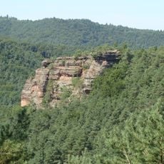
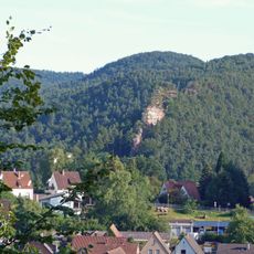
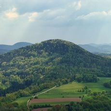
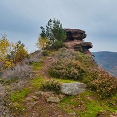
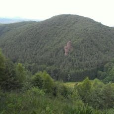
Rötzenberg is a mountain in the Palatinate Forest standing about 460 meters high with red sandstone cliffs and thick woodland covering its slopes. Natural rock formations mark the terrain and shape how the mountain looks from different angles.
The red sandstone of this mountain formed hundreds of millions of years ago during the Triassic period through natural geological processes. You can still see these ancient rock layers today in the exposed cliffs and slopes.
The Rötzenberg is crossed by the Dimbacher Buntsandstein-Höhenweg, a circular trail certified as a premium route by the German Hiking Institute and opened in 2013. The mountain lies in the Dahner Felsenland, and its sandstone crags, including the Isselmannsteine on the north side, are named landmarks along the marked paths.
The mountain can be reached by several hiking trails, with one main route being around 10 kilometers long and offering rest stops along the way. Sturdy footwear is important because of rocky terrain and steep sections.
The Rötzenfels, a rock face up to 55 metres high south of the summit, is climbed via a hiking path onto its plateau. From there the view south takes in the whole Wasgau with the Lindelbrunn ruin in the foreground, and northeast the Rehberg, Ebersberg, Asselstein and Trifels castle. The Dimbacher Buntsandstein-Höhenweg, certified as a premium trail and opened in 2013, crosses the mountain.
The community of curious travelers
AroundUs brings together thousands of curated places, local tips, and hidden gems, enriched daily by 94,141 contributors worldwide.