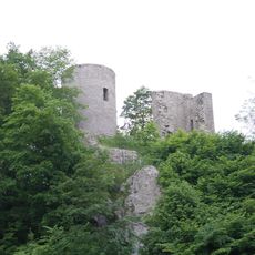
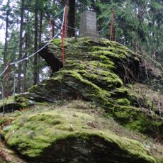
Adlerstein, Mountain summit in Pockau-Lengefeld, Germany
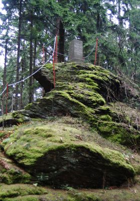
Adlerstein is a mountain summit in the Erzgebirge range at approximately 676 meters elevation, surrounded by dense forest. The terrain provides several marked hiking trails that wind through the natural landscape.
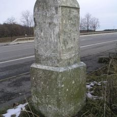
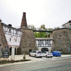
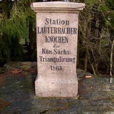
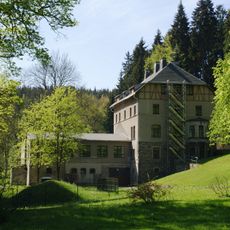
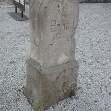
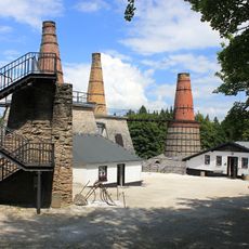
During the silver mining era, the region around this mountain became densely populated due to the valuable mineral deposits in the Erzgebirge. The geographical importance of the peak led later to the installation of a Royal Saxon triangulation station during the 19th century for regional mapping.
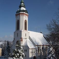
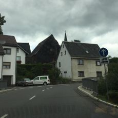
The area surrounding Adlerstein reflects a deep mining heritage that shaped settlement patterns and daily life for centuries. This legacy remains visible today in the names and layout of villages throughout the region.
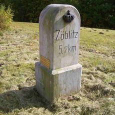
The main hiking route to the summit starts from Pockau-Lengefeld and is clearly marked with several path options depending on your experience level and available time. Spring through fall offers the best hiking conditions, with dry trails and clear visibility for enjoying the views.
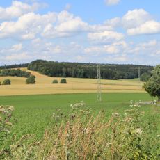
On clear days, the summit offers views of both German peaks like Pohlberg and Czech mountains including Jeleni hora across the border. This location makes it an ideal spot to experience the cross-border character of the Erzgebirge landscape.
Location: Pockau-Lengefeld
Elevation above the sea: 676 m
GPS coordinates: 50.69917,13.16332
Latest update: December 13, 2025 11:40
Lauterbacher Knochen
974 m
Rauenstein Castle
4.3 km
Eliasburg
3.5 km
Lauterstein Castle
4.6 km
Wehrgangkirche Lauterbach
2.9 km
Rittergut Hilmersdorf
4.2 km
Friedhof Hilmersdorf (Sachgesamtheit) Annaberger Straße 6
4.8 km
Heilandskirche
2.6 km
Schule Lautaer Gartenstraße 7
3.8 km
Kgl.-sächs. Postmeilenstein Lengefeld
3 km
Kgl.-sächs. Postmeilenstein Pockau
4.7 km
Friedhof Hilmersdorf – Einzeldenkmale der Sachgesamtheit Annaberger Straße 6
4.8 km
Kgl.-sächs. Postmeilenstein Heinzebank
3.8 km
Kgl.-sächs. Postmeilenstein in Wünschendorf
4.6 km
Kgl.-sächs. Postmeilenstein Rauenstein
3.8 km
Wehrkirche
2.9 km
Royal Saxon milestone B 171 Marienberg
4.9 km
Museum Kalkwerk Lengefeld
782 m
Gerichtsgebäude (Nr. 31) mit angebautem Nebengebäude (Nr. 33) Zschopauer Straße 31; 33
5.1 km
Station 86 Lauterbacher Knochen
974 m
Kalkwerk Lengefeld
791 m
Talsperre Neunzehnhain I; Untere Neunzehnhainer Talsperre Wünschendorf
3.7 km
Ehemalige Mühle, davor Brücke Neunzehnhainer Straße 14
3.1 km
Kgl.-sächs. Postmeilenstein Kalkwerk
824 m
Station 87 Adlerstein
1 m
Kgl.-sächs. Postmeilenstein Hilmersdorf
4.4 km
Kalkwerk Lengefeld (Sachgesamtheit) Kalkwerk
797 m
Rudolphschacht Lauta
4.2 kmVisited this place? Tap the stars to rate it and share your experience / photos with the community! Try now! You can cancel it anytime.
Discover hidden gems everywhere you go!
From secret cafés to breathtaking viewpoints, skip the crowded tourist spots and find places that match your style. Our app makes it easy with voice search, smart filtering, route optimization, and insider tips from travelers worldwide. Download now for the complete mobile experience.
A unique approach to discovering new places❞
— Le Figaro
All the places worth exploring❞
— France Info
A tailor-made excursion in just a few clicks❞
— 20 Minutes