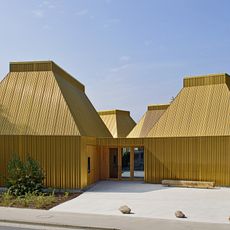
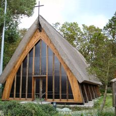
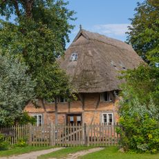
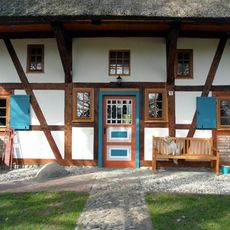
Ahrenshoop, Administrative division on Fischland-Darß-Zingst peninsula, Germany
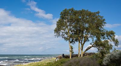
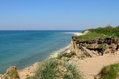
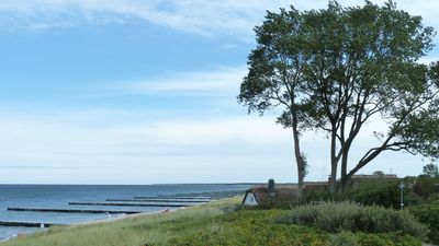
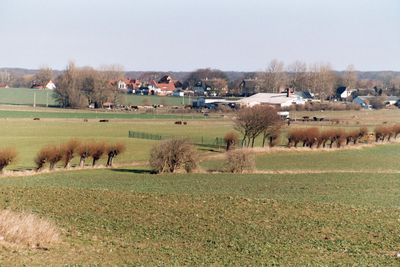
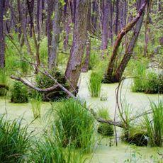
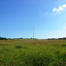
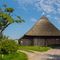
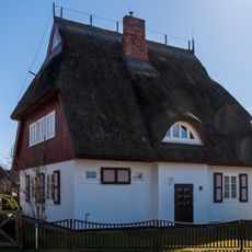
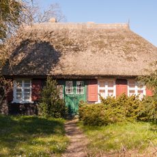
Ahrenshoop is a small municipality on the Baltic Sea coast occupying the narrow Fischland-Darß peninsula, characterized by long sandy beaches backed by dunes and coastal grassland. The settlement spreads along this slender strip of land between inland lagoons and the open sea, creating a low-lying landscape where views extend far across water and shore.
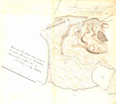
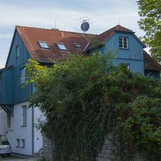
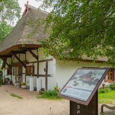
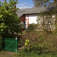
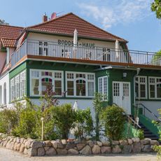
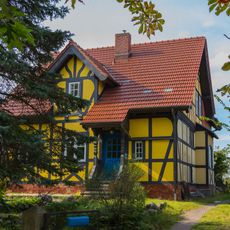
A territorial boundary established in the 16th century divided Ahrenshoop between two regions and remains visible as a path crossing the settlement today. The village later transformed from a fishing community into an artist colony when creative professionals began relocating there in the late 1800s.
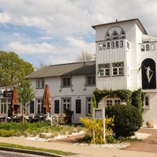
The artist colony established in the late 1800s continues to shape the village today, with painters, sculptors, and craftspeople running studios and galleries throughout the settlement. Walking through the lanes, you notice exhibitions in small buildings, craft shops, and creative people at work or displaying their pieces.
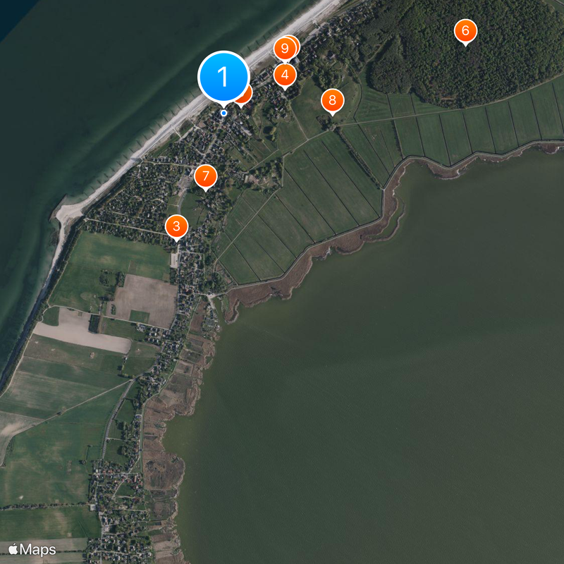
Walking or cycling are the best ways to explore the settlement, as it spreads out and parking is limited. Most routes run between the beach and inland areas, making it easy to move between the shoreline and the village center.
Until 1868, travelers had to pay tolls when crossing the old boundary path that separated the two halves of the village. This unusual practice lasted for centuries before the territorial union eliminated the customs duty between the regions.
The community of curious travelers
AroundUs brings together thousands of curated places, local tips, and hidden gems, enriched daily by 60,000 contributors worldwide.