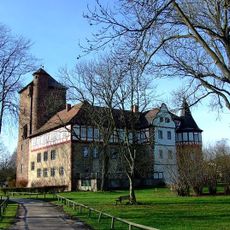
Fulda Gap, Strategic lowland corridor near Fulda, Germany
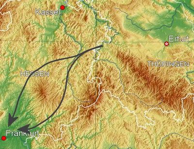
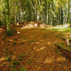
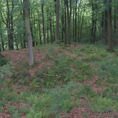
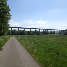
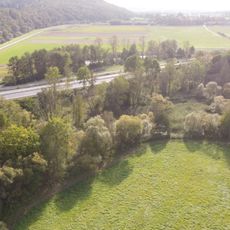
The Fulda Gap runs between the Vogelsberg massif and northern highlands from Thuringia to Frankfurt am Main, forming a roughly 60-mile (97-kilometer) lowland corridor across central Germany. The flat valleys and gentle hills allow wide sightlines over fields and forests, while several parallel valleys shape the passage.
NATO forces established observation posts and defense lines along this route starting in 1947, as military planners feared a potential advance of Soviet armor from East Germany. The corridor's strategic importance ended with the withdrawal of Soviet troops and German reunification in 1990.
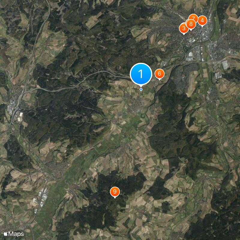
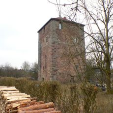
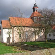
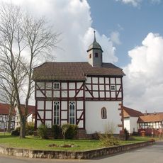
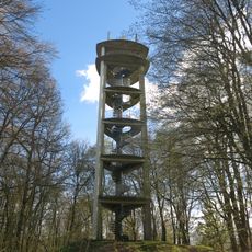
Military historians and researchers frequently visit the Point Alpha Memorial, which preserves Cold War installations and documentation about the Fulda Gap region.
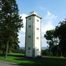
Former border installations and watchtowers near Point Alpha along the old inner-German boundary are accessible and provide insight into military surveillance during the division. Visitor centers along the corridor offer maps and information explaining the geographic layout and defense strategies.
Both military blocs concentrated more than one million soldiers and thousands of tanks in this region, making it one of the most heavily defended areas in Europe. The open fields and gentle slopes suited rapid armor movements, which is why both sides stationed their strongest units here.
The community of curious travelers
AroundUs brings together thousands of curated places, local tips, and hidden gems, enriched daily by 60,000 contributors worldwide.