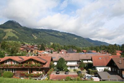
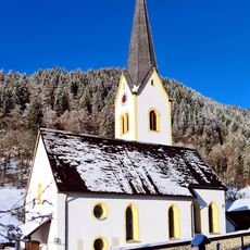
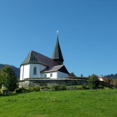
Obermaiselstein, municipality in the district of Oberallgäu, Bavaria, Germany
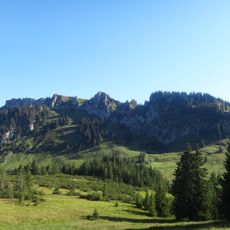
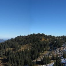
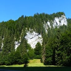
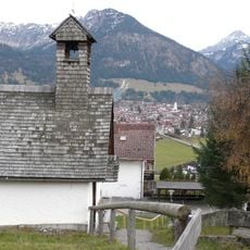
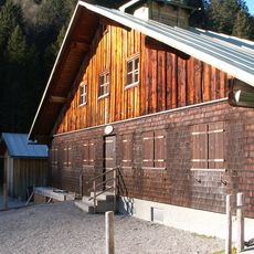
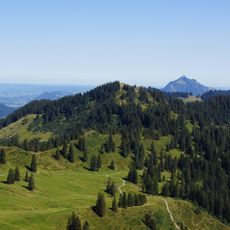
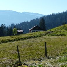
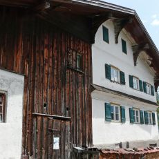
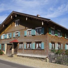
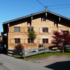
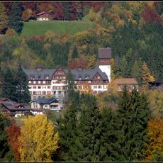
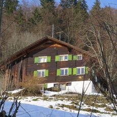
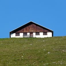
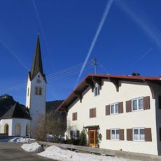
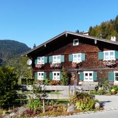
Obermaiselstein is a rural municipality in the Oberallgäu district of Bavaria, sitting on an elevated plateau among the Allgäu Alps, with scattered farmhouses, narrow roads, and wooden buildings with painted shutters. The municipality covers several small hamlets, including Ried, and is framed by the Besler and the Riedberger Horn on either side.
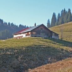
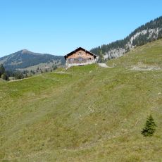
The land around Obermaiselstein has been used for farming and summer grazing for centuries, with families settling the plateau to make use of the rich alpine pastures above. In 1865, the municipality was renamed to avoid confusion with nearby settlements of similar name.
In autumn, the Viehscheid brings farmers and their decorated cattle down from the mountain pastures into the valley, accompanied by folk music, traditional dress, and local food. Visitors who time their trip for this event can watch the procession pass through the village and join the festivities that follow.
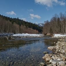
The area is easy to explore on foot or by bike, with local paths leading directly into the surrounding mountain terrain. Those looking for more services or larger shops should head to nearby towns in the Oberallgäu region, which are within easy reach.
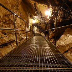
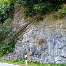
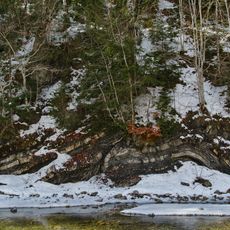
The Sturmannshöhle, a cave on the edge of the municipality, is the only one in the area open to the public and holds rock layers that formed millions of years ago. Guided tours lead visitors deep inside, where underground formations reveal a side of the Alps that is rarely seen from above ground.
The community of curious travelers
AroundUs brings together thousands of curated places, local tips, and hidden gems, enriched daily by 60,000 contributors worldwide.