Enable Location

We need your location to show you interesting places around you

Discover nearby places

Find interesting locations and hidden gems around you

Precise directions

Get accurate directions and distances to places

Your location is never shared with other users. It's only used when you tap the location button.

Hermannsweg

Log in to your account

Start exploring — it's free

Trusted by 62,871 travelers worldwide

Continue with Google
Continue with Apple
or

We will send you a code to connect

By continuing, you accept our Terms and Conditions and our Privacy Policy

Check your inbox

We've sent a pincode in your inbox. Please enter the code below.

Hermannsweg

Hermannsweg, Long-distance hiking trail in Teutoburg Forest, North Rhine-Westphalia, Germany

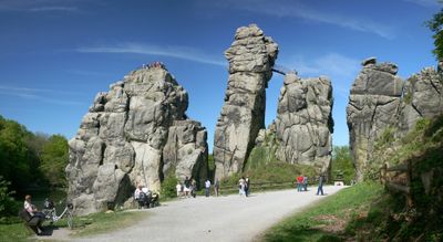
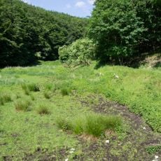
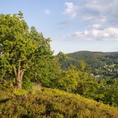
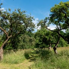
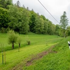
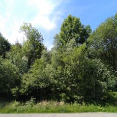
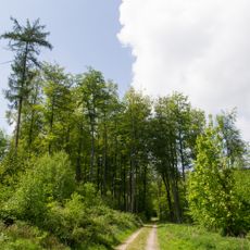
Hermannsweg is a 156-kilometer hiking trail connecting Rheine to Bad Iburg that winds through the Teutoburg Forest. The route runs over ridge tops, through dense forests, and past distinctive sandstone cliffs that shape the landscape.

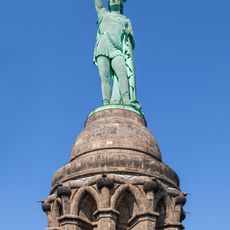
The trail was established in 1902 and marks the route of an ancient battle from 9 AD where Germanic warriors defeated Roman legions. This event significantly influenced Europe's development and remains anchored in the region's memory.

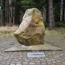
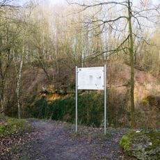
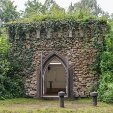
The trail is named after the Cherusci leader Arminius, whose story shapes the region and remains alive in many local communities. Along the way, visitors encounter monuments and information boards that reflect this connection to local identity.

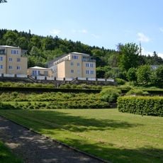
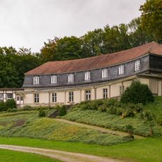
The trail is well marked and has multiple access points near railway stations, making it easy to arrive by public transport. Regular rest areas provide opportunities to buy food and find accommodation.

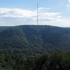
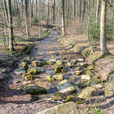
The Dörenther Klippen form a four-kilometer stretch with steep sandstone cliffs that rise unexpectedly from the flat northwestern German landscape. This natural display makes this section a visual highlight of the entire trail.

The community of curious travelers

AroundUs brings together thousands of curated places, local tips, and hidden gems, enriched daily by 60,000 contributors worldwide.

Start exploring
Inception
1902
Operator
TWV Teutoburger Wald Verband;EGV Eggegebirgsverein
GPS coordinates
51.91110,8.84627
Latest update
December 7, 2025 19:30
« Hermannsweg - Long-distance hiking trail in Teutoburg Forest, North Rhine-Westphalia, Germany » is provided by Around Us (aroundus.com). Images and texts are derived from Wikimedia project under a Creative Commons license. You are allowed to copy, distribute, and modify copies of this page, under the conditions set by the license, as long as this note is clearly visible.

Discover hidden gems everywhere you go!

From secret cafés to breathtaking viewpoints, skip the crowded tourist spots and find places that match your style. Our app makes it easy with voice search, smart filtering, route optimization, and insider tips from travelers worldwide. Download now for the complete mobile experience.

Around Us App Screenshot

A unique approach to discovering new places

Le Figaro

All the places worth exploring

France Info

A tailor-made excursion in just a few clicks

20 Minutes

Around Us
Travel Guide & Maps
Download

Send to your phone

QR Code
1

Open the camera app on your mobile.

2

Point at the QR code with your camera. A notification will appear.

3

Tap the notification to open the link.