Central Germany, Geographic region in eastern Germany
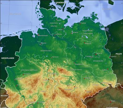
Central Germany covers five states between northern and southern Germany with varied landscapes. The region includes mountain ranges like the Harz and Erzgebirge, alongside flat plains, forests, and rivers.
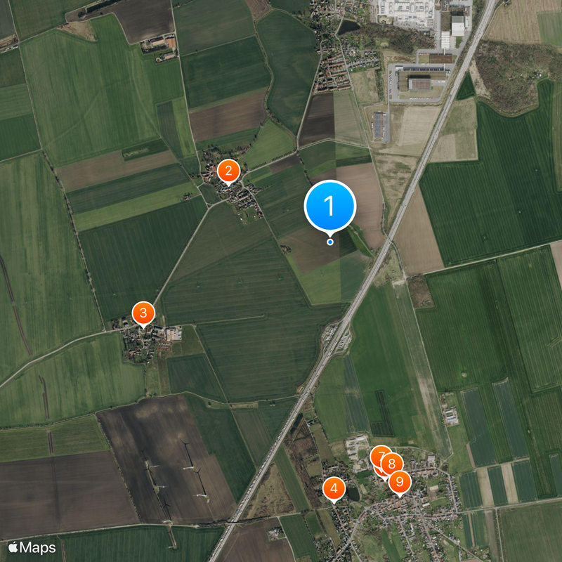
The region was long divided between different kingdoms and principalities, shaping its development. After reunification in 1990, Niederdorla in Thuringia became recognized as Germany's geographic center.
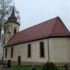
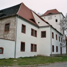
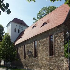
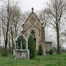
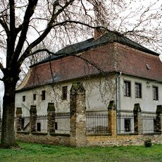
The landscapes shaped how villages and towns look and feel in this part of Germany. Local building styles, from timber-framing to stonework, reflect how people adapted to the terrain around them.
The central location offers good connections for travelers moving between northern and southern Germany. Major roads and railway lines run through the area well-developed, linking all larger cities together.
Several towns compete for the title of Germany's center and have built monuments to mark their claim. This friendly competition shows how tricky it is to find an exact geographic center point.
The community of curious travelers
AroundUs brings together thousands of curated places, local tips, and hidden gems, enriched daily by 60,000 contributors worldwide.