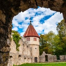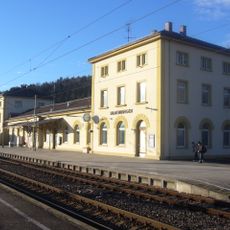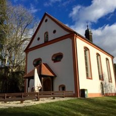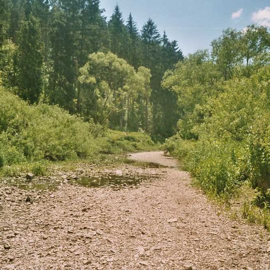
Danube Sinkhole, Natural stream capture in Baden-Württemberg, Germany.
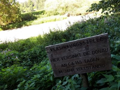
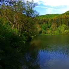
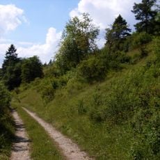
The Danube Sinkhole (Donauversinkung) is a stretch of the Upper Danube between Immendingen and Möhringen, and near Fridingen, where the river loses water through crevices in the well-stratified Oxford limestone of the White Jura. The main sinks lie along a 1.6 km reach at the Brühl meander; the streambed there is broad gravel with shallow pools and narrow channels, bordered by trees and tall grasses.
The first documented complete disappearance of the Danube into the sinkhole dates to 1874. In October 1877, geologist Adolf Knop poured 10 kg of sodium fluorescein, 20 tons of salt and 1,200 kg of shale oil into the river; after 60 hours all three substances emerged at the Aachtopf. A 1927 case before the Supreme Court of the German Reich addressed the dispute over the sinkhole's impact.
The names Donauversinkung and Donauversickerung are both used; historian Ludger Syré notes that the latter is rarer but more accurate, since the water seeps through riverbed gravel about 50 mm across and rock crevices up to 2 cm wide. The sinkholes can announce themselves by whirlpools or gurgling sounds, and drifting debris sometimes piles up at them.
The best way to visit is by following marked paths along the riverbed from nearby viewing areas. Wear comfortable shoes since the paths cross rocky ground, and remember that water flow visibility depends on recent rainfall and season.
The water that seeps underground travels far beneath the surface before emerging again at a completely different location downstream. This hidden connection links the river system in an unexpected way to a major lake in the region.
The community of curious travelers
AroundUs brings together thousands of curated places, local tips, and hidden gems, enriched daily by 92,981 contributors worldwide.