Kraichtal, municipality in Germany
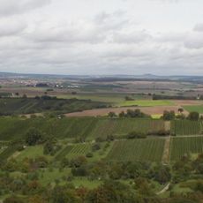
Kraichtal is an urban municipality in the Karlsruhe district in Baden-Württemberg formed in 1971 when nine smaller towns merged. It comprises seven districts including Gochsheim, Landshausen, Münzesheim, and Neuenbürg, situated in the Kraichgau landscape between the Black Forest and Odenwald forests.
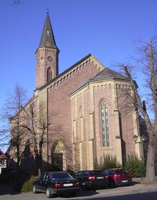
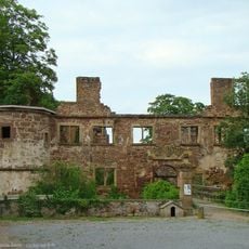
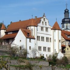
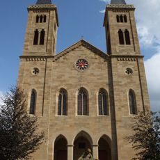
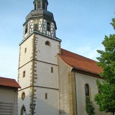
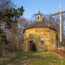
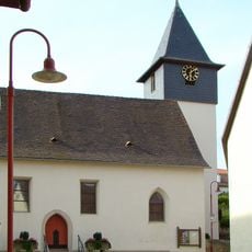
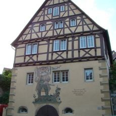
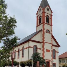
Kraichtal was established in 1971 when nine separate municipalities joined together to form a single city. The individual districts have roots in older settlements, and several areas preserve historic churches and castles such as Eberstein Castle in Gochsheim.
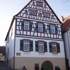
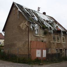
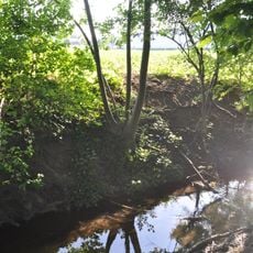
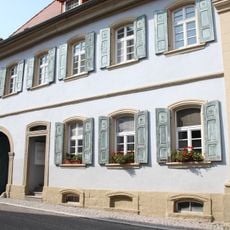
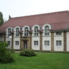
The name comes from the Kraich river flowing through the region. Each district maintains its own character with traditional stone and brick buildings where residents know their neighbors and greet one another in daily life.
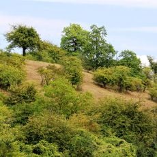
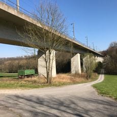
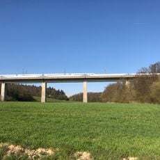
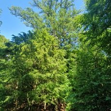
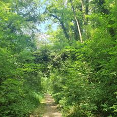
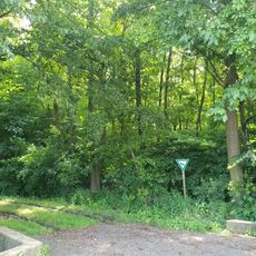
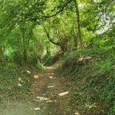
The town is connected to nearby larger towns by train and bus services and invites walks through quiet streets and country roads. The flat to gently rolling terrain makes hiking and cycling possible throughout the year, particularly during the warmer months from spring to autumn.
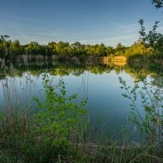
The town's name refers to the Kraich river flowing through the region and eventually joining the Rhine River. The surrounding landscape is called Kraichgau and is known for its winemaking and agricultural traditions maintained by residents for generations.
The community of curious travelers
AroundUs brings together thousands of curated places, local tips, and hidden gems, enriched daily by 60,000 contributors worldwide.