Enable Location

We need your location to show you interesting places around you

Discover nearby places

Find interesting locations and hidden gems around you

Precise directions

Get accurate directions and distances to places

Your location is never shared with other users. It's only used when you tap the location button.

Landkreis Karlsruhe

Log in to your account

Start exploring — it's free

Trusted by 61,340 travelers worldwide

Continue with Google
Continue with Apple
or

We will send you a code to connect

By continuing, you accept our Terms and Conditions and our Privacy Policy

Check your inbox

We've sent a pincode in your inbox. Please enter the code below.

Landkreis Karlsruhe, Administrative district near Karlsruhe, Germany

Description

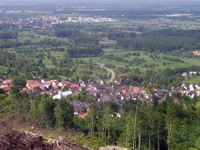
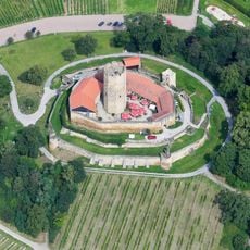
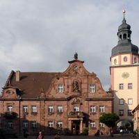
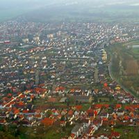
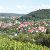
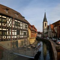
Karlsruhe District is an administrative area in Baden-Württemberg covering roughly 1,085 square kilometers with 32 municipalities spread around the city. Towns like Bretten, Bruchsal, and Ettlingen form the core settlements, some situated along the Rhine River.

History

The district was established in 1973 through administrative reforms that merged regions from the former districts of Bruchsal, Karlsruhe, and Pforzheim. This reorganization shaped the current boundaries and structure.

Culture

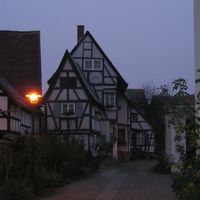
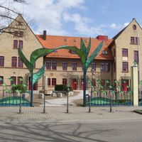
The municipalities here maintain local traditions through regular festivals, markets, and regional food specialties typical of Baden. These customs shape how residents spend their time and celebrate throughout the year.

Practical

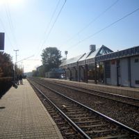
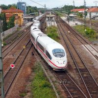
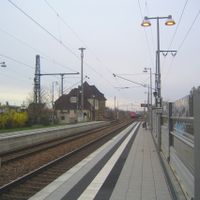
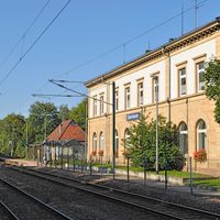
The area is linked by an integrated transport system with regular trains and buses connecting all municipalities to Karlsruhe city. You can use these connections to move between different towns easily.

Did you know?

The Philippsburg Nuclear Power Plant once operated within the district, supplying electricity to the region until its closure in 2019. It was a defining industrial presence for surrounding communities for many decades.

Location
Landeskommissärbezirk Karlsruhe
Location
акруга Нордбадэн
Inception
1939
Capital city
Karlsruhe
Elevation above the sea
118 m
Shares border with
Rastatt district, Enz district, Karlsruhe, Calw District, Heilbronn, Rhein-Neckar, Germersheim, Rhein-Pfalz, Speyer
Phone
GPS coordinates
49.08762,8.61069
Latest update
December 14, 2025 19:34

AroundUs brings together thousands of curated places, local tips, and hidden gems, enriched daily by 60,000 contributors worldwide. Discover all places nearby (Karlsruhe Government Region).

« Landkreis Karlsruhe - Administrative district near Karlsruhe, Germany » is provided by Around Us (aroundus.com). Images and texts are derived from Wikimedia project under a Creative Commons license. You are allowed to copy, distribute, and modify copies of this page, under the conditions set by the license, as long as this note is clearly visible.

Discover hidden gems everywhere you go!

From secret cafés to breathtaking viewpoints, skip the crowded tourist spots and find places that match your style. Our app makes it easy with voice search, smart filtering, route optimization, and insider tips from travelers worldwide. Download now for the complete mobile experience.

Around Us App Screenshot

A unique approach to discovering new places

Le Figaro

All the places worth exploring

France Info

A tailor-made excursion in just a few clicks

20 Minutes

Around Us
Travel Guide & Maps
Download

Send to your phone

QR Code
1

Open the camera app on your mobile.

2

Point at the QR code with your camera. A notification will appear.

3

Tap the notification to open the link.