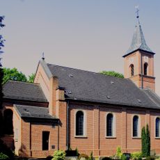
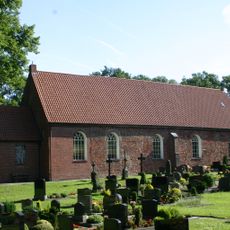
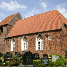
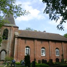
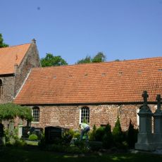
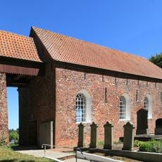
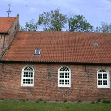
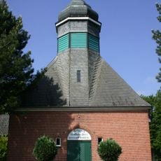
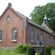
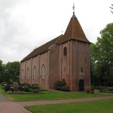
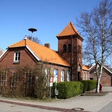
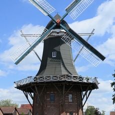
Westoverledingen, municipality of Germany
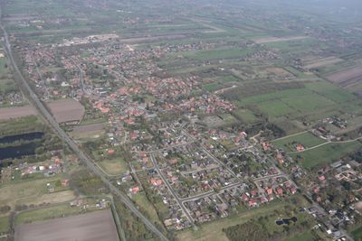
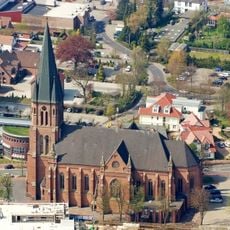
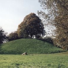
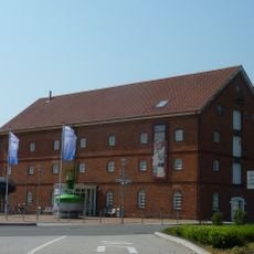
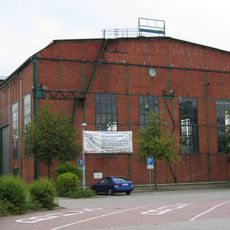
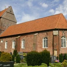
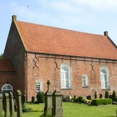
Westoverledingen is a rural municipality in the Leer area of Lower Saxony that covers flat terrain dotted with meadows, fields, and small villages. The settlements are scattered throughout the landscape with paths and waterways running through them.
The municipality was established in 1974 when several smaller communities merged as part of regional administrative changes. Its growth has always been connected to farming and water management practices that shaped the land for centuries.
A car works best for exploring the area since villages are spread far apart and public transport is limited. The flat terrain also makes cycling a good option if you want to move through the landscape at your own pace.
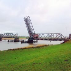
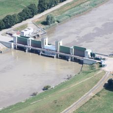
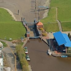
The area is known for its dense network of canals and waterways crisscrossing the landscape that have been essential for drainage and irrigation for generations. These water routes continue to shape how the region looks today and reflect the heritage of this northern German flatland.
The community of curious travelers
AroundUs brings together thousands of curated places, local tips, and hidden gems, enriched daily by 60,000 contributors worldwide.