Krottenkopf, Mountain summit in Ester Mountains, Bavaria, Germany
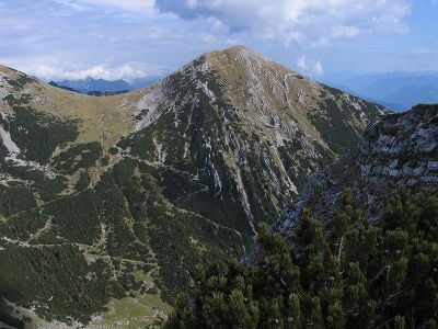
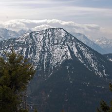
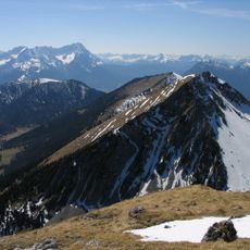
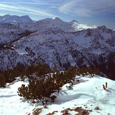
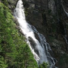
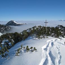
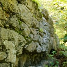
Krottenkopf is a mountain summit in the Ester Mountains of Bavaria that rises to about 2,086 meters. The peak is composed of Oberrät limestone at the top with Main Dolomite forming much of the lower structure, creating the mountain's distinctive geological layers.
Local mountaineers established multiple routes to the summit during the 19th century as alpine climbing became increasingly popular in the region. These early expeditions helped develop the mountain into a recognized destination within the broader alpine tourism movement.
The name refers to amphibians found in the region, with 'kopf' meaning peak, reflecting how local people historically connected their environment to wildlife. This naming tradition shows how the landscape and its creatures shaped regional identity and language.
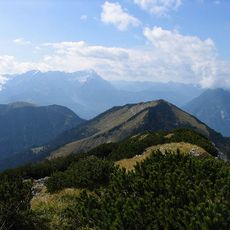
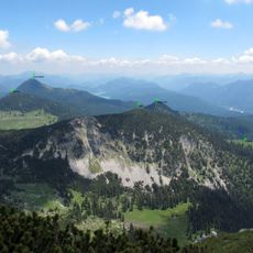
The mountain is accessible from several starting points including Oberau, Klais, and Garmisch-Partenkirchen, with the Weilheimer Hut providing shelter and rest at mid-elevation. Good hiking boots and weather-appropriate clothing are essential, as conditions can change quickly in the mountains.
The mountain displays visible layering where the upper limestone differs noticeably from the dolomite formations below, offering hikers a clear view of distinct geological periods. This arrangement serves as a natural lesson in how the Alps were built up over millions of years through different phases of mountain formation.
The community of curious travelers
AroundUs brings together thousands of curated places, local tips, and hidden gems, enriched daily by 60,000 contributors worldwide.