
Bermel, municipality of Germany
Location: Mayen-Koblenz
Location: Vordereifel
Elevation above the sea: 400 m
Website: https://vordereifel.de
GPS coordinates: 50.28472,7.08889
Latest update: March 5, 2025 23:26
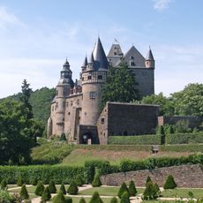
Bürresheim Castle
10 km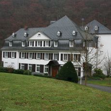
Kloster Helgoland
9.9 km
Genovevaburg
10.5 km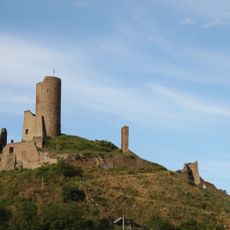
Löwenburg and Philippsburg
5.4 km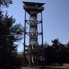
Booser Eifelturm
6.6 km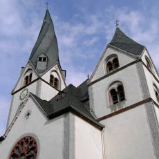
St. Clemens
10.8 km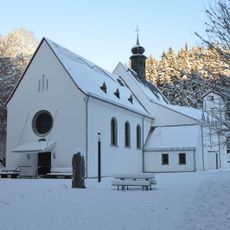
Wallfahrtskirche Maria Martental
8.6 km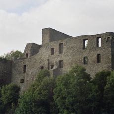
Virneburg Castle
6.5 km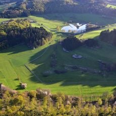
Booser Doppelmaar
7.2 km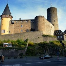
Deutsches Schieferbergwerk
10.6 km
St. Jost
8.1 km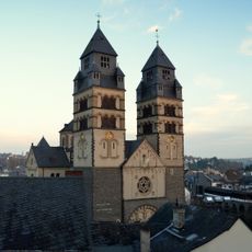
Herz-Jesu-Kirche
10.6 km
Dreifaltigkeitskirche
5.3 km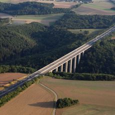
Elztalbrücke
9.8 km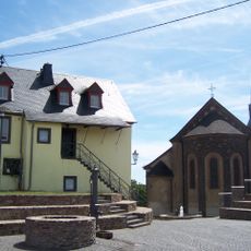
St. Pankratius
7.1 km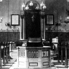
Synagoge (Mayen)
10.8 km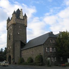
Obertor
10.4 km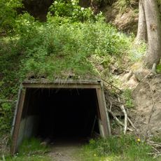
Bendisberg mine
8.5 km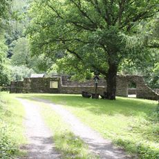
Klosterruine Mädburg
9.3 km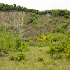
Hochbermel
748 m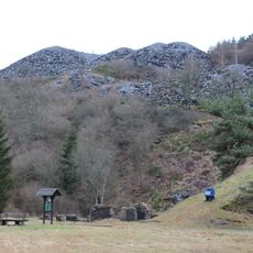
Kaulenbachtal
6.9 km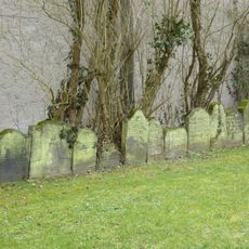
Jewish cemetery, Mayen
10.6 km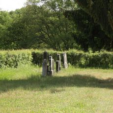
Jewish cemetery, Kaisersesch
7.6 km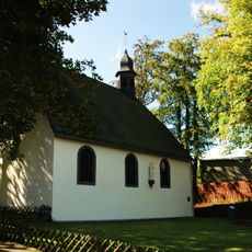
Waldkapelle (Kaisersesch)
6.7 km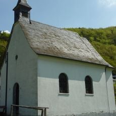
St. Antonius
8.3 km
Müllenbachtal - Kaulenbachtal
6.9 km
Hoch Bermel
802 m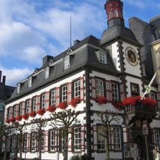
Altes Rathaus
10.7 kmVisited this place? Tap the stars to rate it and share your experience / photos with the community! Try now! You can cancel it anytime.
Discover hidden gems everywhere you go!
From secret cafés to breathtaking viewpoints, skip the crowded tourist spots and find places that match your style. Our app makes it easy with voice search, smart filtering, route optimization, and insider tips from travelers worldwide. Download now for the complete mobile experience.

A unique approach to discovering new places❞
— Le Figaro
All the places worth exploring❞
— France Info
A tailor-made excursion in just a few clicks❞
— 20 Minutes