Nohfelden, municipality of Germany
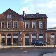
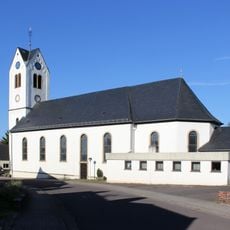
Nohfelden is a small municipality in the Saarland region in the St. Wendel district, formed in 1974 from several villages merged together on hilly terrain. The settlement spans about 100 square kilometers with roughly 10,000 residents and offers overnight options from hotels to campsites, along with local restaurants serving diverse cuisines.
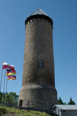
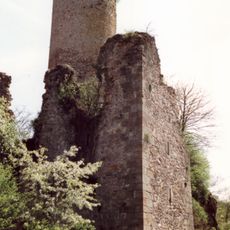
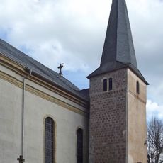
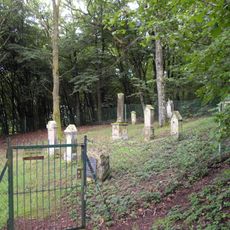
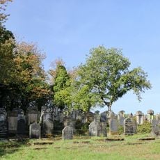
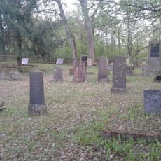
Nohfelden's first written records date to 1286 for the castle and 1372 for the town hall, though archaeological finds show Celtic and Roman presence in the villages. The region changed rulers repeatedly, especially after the French Revolution and European conflicts, with two Jewish cemeteries from around 1800 bearing witness to the area's diverse settlement history.
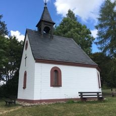
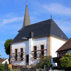
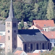
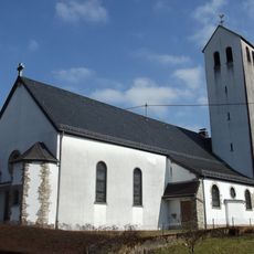
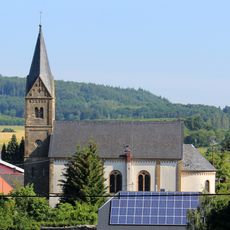
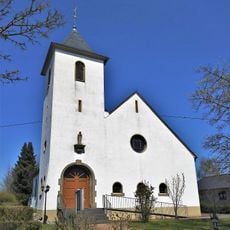
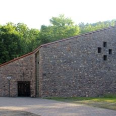
Nohfelden carries its identity in the layout of its villages, marked by narrow streets and colorful houses that visitors encounter. The community keeps traditions alive through regular festivals and markets, especially the medieval fair held each July around the castle, showing how the past remains woven into daily life.
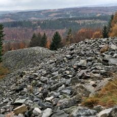
Visitors reach Nohfelden easily by car or train with good connections to Saarbrücken and Frankfurt airports. The surrounding area offers many walking paths through nearby forests and around Bostalsee lake, while parking areas and signs at the castle site make access to attractions straightforward.
A special feature is the lift that takes visitors to the top of the castle tower, offering views over the Nahe Valley and surrounding landscape. From the bergfried visitors see the land stretch in all directions, gaining a sense of why this fortress held such a strategic position.
The community of curious travelers
AroundUs brings together thousands of curated places, local tips, and hidden gems, enriched daily by 60,000 contributors worldwide.