Enable Location

We need your location to show you interesting places around you

Discover nearby places

Find interesting locations and hidden gems around you

Precise directions

Get accurate directions and distances to places

Your location is never shared with other users. It's only used when you tap the location button.

Log in to your account

Start exploring — it's free

Trusted by 62,932 travelers worldwide

Continue with Google
Continue with Apple
or

We will send you a code to connect

By continuing, you accept our Terms and Conditions and our Privacy Policy

Check your inbox

We've sent a pincode in your inbox. Please enter the code below.

Discussion Reviews Photo
20.9k Popularity

St. Wendel, Rural district in Saarland, Germany

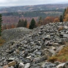
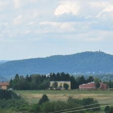
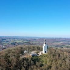
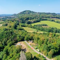
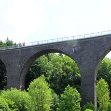
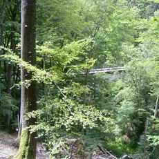
Sankt Wendel district is an administrative area in northeastern Saarland featuring rolling hills with elevations between 200 and 600 meters (656 to 1,969 feet). The district encompasses eight municipalities managed from its namesake county seat.

The area took shape in 1834 when Prussia acquired the Principality of Lichtenberg, reshaping the region's administrative structure. Both World Wars brought significant boundary changes that affected the district.

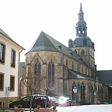
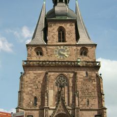
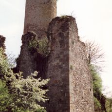
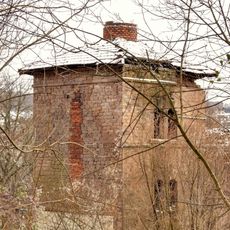
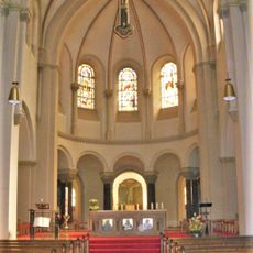
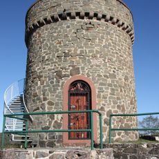
The district shows strong Catholic roots through its churches and chapels that shape the local character. Weekly markets and local celebrations reflect how residents connect with their region.

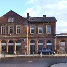
The rolling terrain is best explored by car or bicycle due to its hilly nature. Information about the individual municipalities and local services can be found in the district seat.

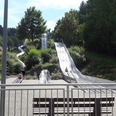
The Bostalsee lake, located within the district, is the largest recreational lake in southwestern Germany. Its waters span roughly 120 hectares and attract water sports enthusiasts and visitors seeking outdoor relaxation.

The community of curious travelers

AroundUs brings together thousands of curated places, local tips, and hidden gems, enriched daily by 60,000 contributors worldwide.

Start exploring
Location
Capital city
Sankt Wendel
Shares border with
Neunkirchen, Saarlouis, Merzig-Wadern, Trier-Saarburg, Birkenfeld, Kusel
GPS coordinates
49.52000,7.10000
Latest update
December 23, 2025 01:41
Reviews
Share your experience

No review yet

Discussions
Start a discussion...

No discussion yet

« St. Wendel - Rural district in Saarland, Germany » is provided by Around Us (aroundus.com). Images and texts are derived from Wikimedia project under a Creative Commons license. You are allowed to copy, distribute, and modify copies of this page, under the conditions set by the license, as long as this note is clearly visible.

Discover hidden gems everywhere you go!

From secret cafés to breathtaking viewpoints, skip the crowded tourist spots and find places that match your style. Our app makes it easy with voice search, smart filtering, route optimization, and insider tips from travelers worldwide. Download now for the complete mobile experience.

Around Us App Screenshot

A unique approach to discovering new places

Le Figaro

All the places worth exploring

France Info

A tailor-made excursion in just a few clicks

20 Minutes

Around Us
Travel Guide & Maps
Download

Send to your phone

QR Code
1

Open the camera app on your mobile.

2

Point at the QR code with your camera. A notification will appear.

3

Tap the notification to open the link.