
Lohnsfeld, municipality of Germany
Location: Donnersbergkreis
Elevation above the sea: 252 m
Website: http://www.lohnsfeld.de
Website: http://lohnsfeld.de
GPS coordinates: 49.55056,7.85333
Latest update: March 19, 2025 11:39
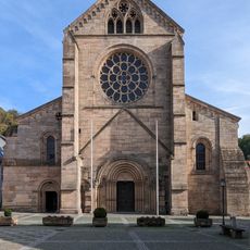
Otterberg abbey church
7.8 km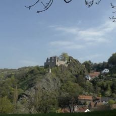
Falkenstein Castle
6.7 km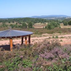
Mehlinger Heide
7.2 km
United States Army Europe Band and Chorus
2.9 km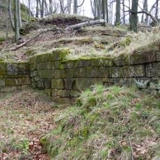
Hohenfels Castle
6.4 km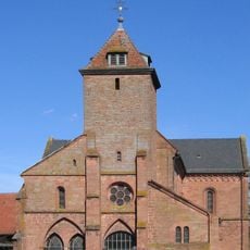
Klosterkirche Enkenbach
7.9 km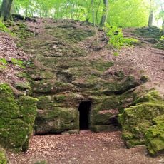
Eremitenklause Börrstadt
6.4 km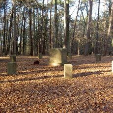
Stumpfwaldgericht
7.9 km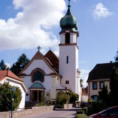
Herz-Jesu-Kirche
2 km
Dieburg
8.2 km
Protestantische Kirche Alsenborn
8.2 km
Mennonite church Sembach
4.1 km
Anselburg
5.3 km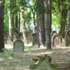
Jüdischer Friedhof
6.6 km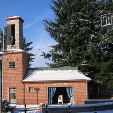
Bajasseum
8.2 km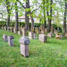
Jewish cemetery, Winnweiler
2.1 km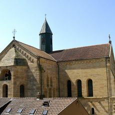
Otterberg abbey
7.8 km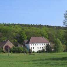
Randeckerhof
7.1 km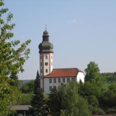
Schlosskirche Neuhemsbach
6 km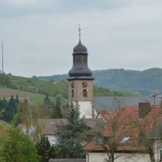
Protestant church
2 km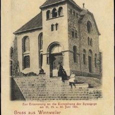
Synagogue of Winnweiler
1.9 km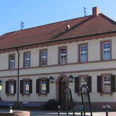
Alte Schule
8.2 km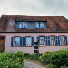
Museum Winnweiler - Jüdisches Museum der Nordpfalz
2.2 km
Burg Mühlberg
6.2 km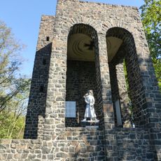
Kriegerdenkmal
2.3 km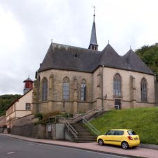
St. Peter in Ketten
6.7 km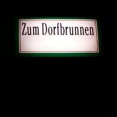
Dorfbrunnen
6 km
Donnersbergkreis
7.2 kmReviews
Visited this place? Tap the stars to rate it and share your experience / photos with the community! Try now! You can cancel it anytime.
Discover hidden gems everywhere you go!
From secret cafés to breathtaking viewpoints, skip the crowded tourist spots and find places that match your style. Our app makes it easy with voice search, smart filtering, route optimization, and insider tips from travelers worldwide. Download now for the complete mobile experience.

A unique approach to discovering new places❞
— Le Figaro
All the places worth exploring❞
— France Info
A tailor-made excursion in just a few clicks❞
— 20 Minutes