
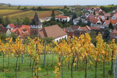
Ranschbach, municipality of Germany
Location: Landau-Land
Elevation above the sea: 246 m
Website: http://ranschbach.de
GPS coordinates: 49.19583,8.03250
Latest update: March 3, 2025 22:10
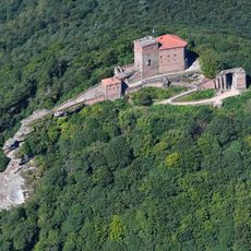
Trifels Castle
3.9 km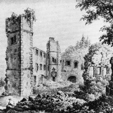
Madenburg Castle
3.5 km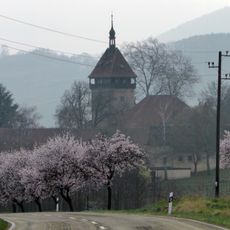
Institute for Grapevine Breeding Geilweilerhof
2.7 km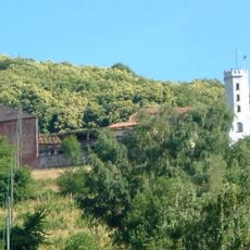
Slevogthof
1.5 km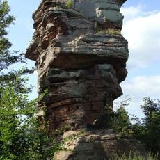
Anebos Castle
3.7 km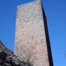
Scharfenberg Castle
3.4 km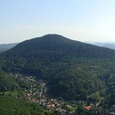
Rehberg
4.8 km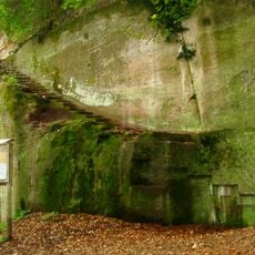
Burg Neukastel
1.5 km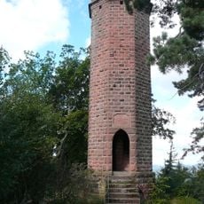
Rehberg tower
4.8 km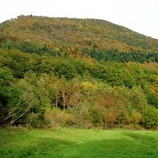
Hohenberg
2.1 km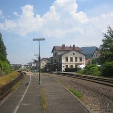
Annweiler am Trifels station
4.9 km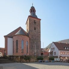
Protestantische Kirche
5.2 km
Museum unterm Trifels
5.1 km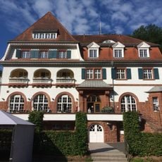
Kurhaus Trifels
4.4 km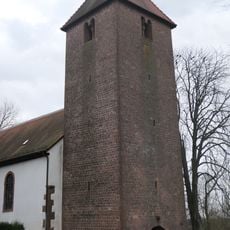
Protestantische Kirche
4 km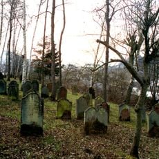
Jewish cemetery, Annweiler am Trifels
4.1 km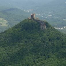
Sonnenberg
3.9 km
Klettererhütte
5.1 km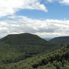
Föhrlenberg
2.5 km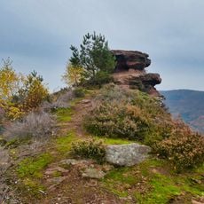
Kleiner Hahnstein
4.9 km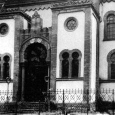
Synagoge
2.6 km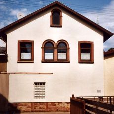
Synagoge
4 km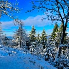
Haardtrand - Unterhalb der Madenburg
3.5 km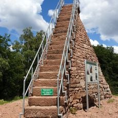
Hohenberg Tower
2.1 km
Kleine Kalmit
2.1 km
Haardtrand - Geraide
2.4 km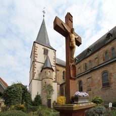
St. Georg (Arzheim)
2.7 km
St. Martin
1.6 kmVisited this place? Tap the stars to rate it and share your experience / photos with the community! Try now! You can cancel it anytime.
Discover hidden gems everywhere you go!
From secret cafés to breathtaking viewpoints, skip the crowded tourist spots and find places that match your style. Our app makes it easy with voice search, smart filtering, route optimization, and insider tips from travelers worldwide. Download now for the complete mobile experience.

A unique approach to discovering new places❞
— Le Figaro
All the places worth exploring❞
— France Info
A tailor-made excursion in just a few clicks❞
— 20 Minutes