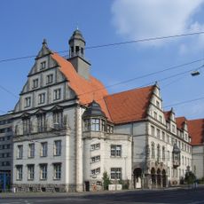
Brackwede, Administrative district in Bielefeld, Germany
Brackwede is a district in Bielefeld that spans about 38 square kilometers and contains residential neighborhoods, industrial areas, and green spaces. It stands as the largest administrative division in the city, mixing housing with business and nature.
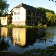
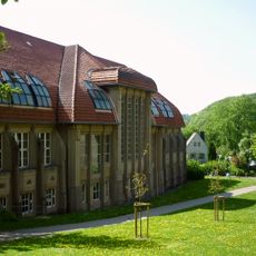
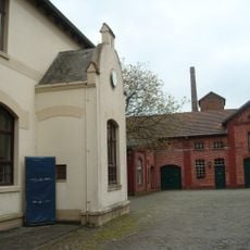
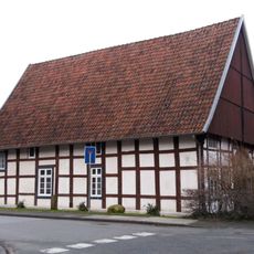
First recorded in 1151, the district evolved from a rural settlement into an industrial center during the 1800s. Spinning mills and glassmaking factories became the driving force behind its economic growth and shaped its present-day structure.
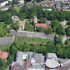
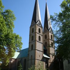
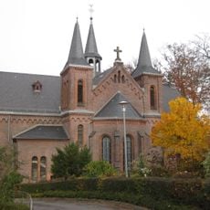
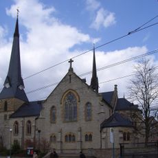
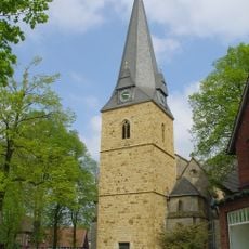
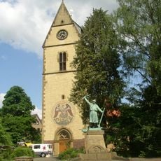
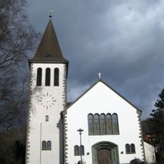
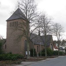
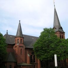
The Bartholomäus Church, mentioned in 1216, stands as the central religious structure and underwent complete reconstruction following the 1990 fire.
The district has multiple schools ranging from primary to vocational institutions serving its population of more than 40,000 residents. This range of educational facilities makes it easy to understand what learning options are available in the area.
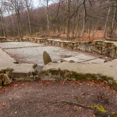
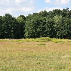
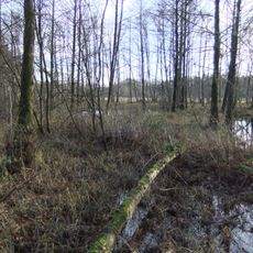
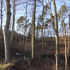
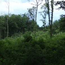
Three streams run through the area and drain toward the Ems river, with the Lutter stream creating distinct water patterns south of the Teutoburg Forest. These natural waterways shape the landscape and its ecological character.
The community of curious travelers
AroundUs brings together thousands of curated places, local tips, and hidden gems, enriched daily by 60,000 contributors worldwide.