
Münchweiler an der Rodalb
Münchweiler an der Rodalb, municipality in Rhineland-Palatinate, Germany
Location: Südwestpfalz
Elevation above the sea: 296 m
Website: http://muenchweiler.de
GPS coordinates: 49.21778,7.70417
Latest update: May 6, 2025 18:36
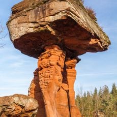
Devil's Table
3.8 km
Quellgebiet der Wieslauter
6.6 km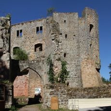
Gräfenstein Castle
4.6 km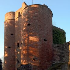
Castle Neudahn
7.2 km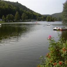
Clausensee
6.4 km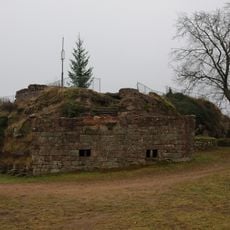
Castle Lemberg
5.8 km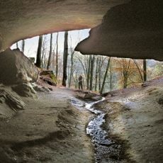
Bärenhöhle
6.5 km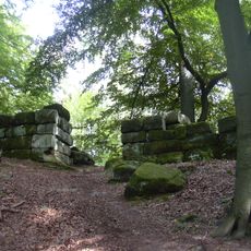
Heidelsburg
5.7 km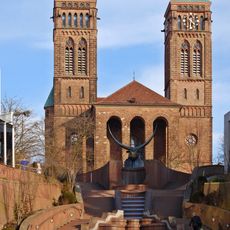
Sankt Pirminius Church in Pirmasens
7.4 km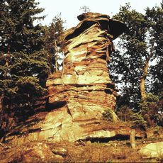
Devil's Table
6.4 km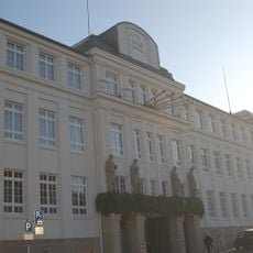
Neuffer
6.9 km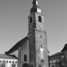
Johanneskirche in Pirmasens, Germany
7.4 km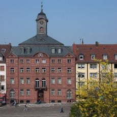
Altes Rathaus
7.5 km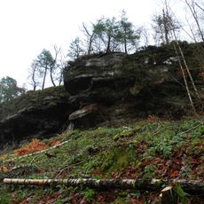
Ruppertstein Castle
3.7 km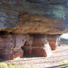
Burg Entenstein
6.6 km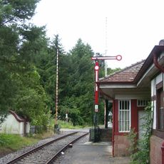
Hinterweidenthal Ort
4.1 km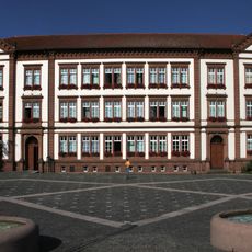
Neues Rathaus (Pirmasens)
7.5 km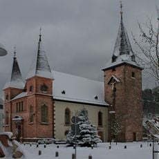
St. Maria (Rodalben)
5.8 km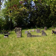
Jewish cemetery Rodalben
6.7 km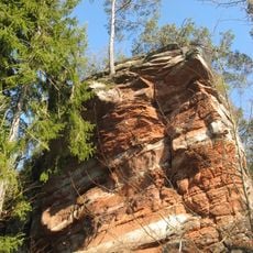
Handschuhkopf
3.8 km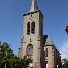
Seliger Bernhard von Baden (Clausen)
5.1 km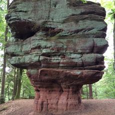
Kanzelfels
5.3 km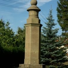
Kriegerdenkmal (Lemberg)
6.1 km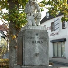
Kriegerdenkmal 1914/18
141 m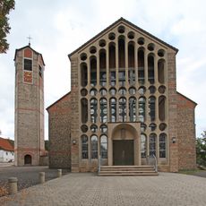
Hl. Kreuz (Merzalben)
3.7 km
Veränderung
5.9 km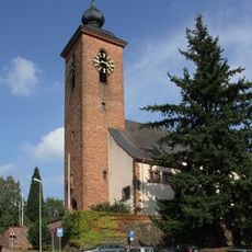
St. Josef (Rodalben)
5.6 km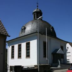
Protestant church
6.3 kmVisited this place? Tap the stars to rate it and share your experience / photos with the community! Try now! You can cancel it anytime.
Discover hidden gems everywhere you go!
From secret cafés to breathtaking viewpoints, skip the crowded tourist spots and find places that match your style. Our app makes it easy with voice search, smart filtering, route optimization, and insider tips from travelers worldwide. Download now for the complete mobile experience.

A unique approach to discovering new places❞
— Le Figaro
All the places worth exploring❞
— France Info
A tailor-made excursion in just a few clicks❞
— 20 Minutes