Quellgebiet der Wieslauter, Wilderness area in Palatinate Forest Biosphere Reserve, Germany
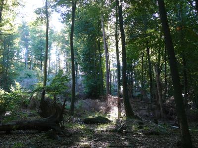
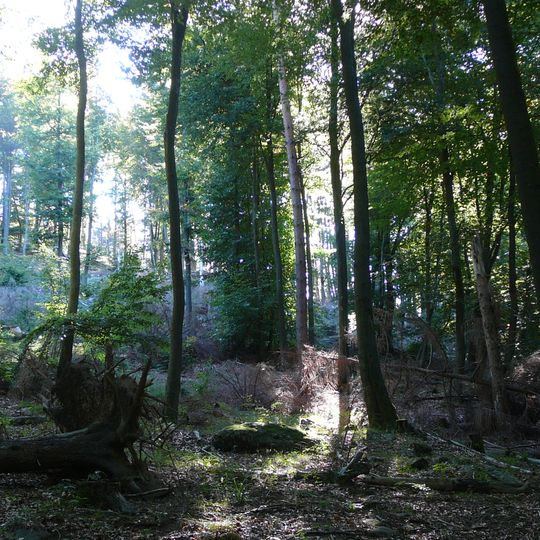
Quellgebiet der Wieslauter is a 2,399.5-hectare core zone of the Palatinate Forest Nature Park, established in 2007 and the largest of its 23 core zones. It lies in the Südwestpfalz district on the forest land of Wilgartswiesen, Merzalben and Münchweiler an der Rodalb, running about 7.5 km northeast to southwest and then nearly 3 km south into the Zieglertal. Its near-natural beech and oak-beech forests grow on Middle Buntsandstein crags, block fields and steep slopes, with lean meadows and heath fallow in clearings.
The core zone was established in 2007, covering 2,399.5 hectares, making it the largest of the 23 core zones in the Palatinate Forest Nature Park. It lies in the forest districts of Wilgartswiesen, Merzalben and Münchweiler an der Rodalb and protects near-natural beech and oak-beech forests with a high proportion of deadwood.
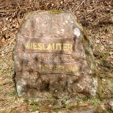
The protected area is named after the Lauter, called Wieslauter along its upper course. Contrary to the name, most of the water draining the core zone comes from the Wartenbach, about 7 km long, and its tributary the Scheidbach (4.3 km); the Wieslauter's own spring stream is only 1.2 km long and joins the Wartenbach at the south foot of the Wieslautereck (361.8 m).
Visitors should stay on marked trails because steep slopes and slippery spots can make the terrain difficult to cross. The best months to visit are spring and autumn, when the springs flow most strongly and the foliage changes color.
Despite its name, most of the water in the protected area comes from the Wartenbach, a roughly 7 km stream, and its tributary the Scheidbach (4.3 km). The actual Wieslauter spring stream is only 1.2 km long and carries little water; it joins the Wartenbach at the southern foot of the 361.8 m Wieslautereck.
The community of curious travelers
AroundUs brings together thousands of curated places, local tips, and hidden gems, enriched daily by 94,216 contributors worldwide.