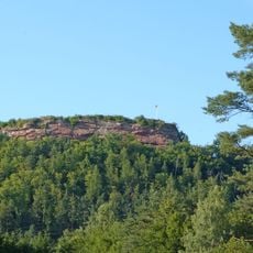
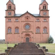
Hortenkopf, Mountain summit in Palatine Forest, Germany
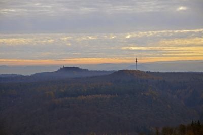
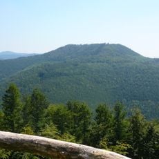
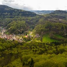
Hortenkopf is a mountain summit in the Frankenweide massif with an elevation of 606 meters, located between the villages of Hofstätten and Leimen. The area is shaped by continuous ridges that remain above 450 meters, connecting several neighboring peaks across the landscape.
The summit is part of the Frankenweide massif and ranks as the second highest of four peaks exceeding 600 meters in this area. This position within the mountain range made it historically important for regional geography and orientation.
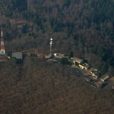
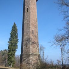
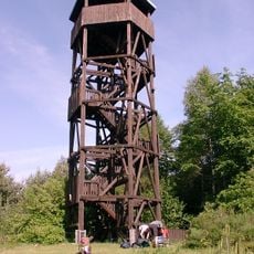
The transmission tower on the summit is visible from far away and serves as a distinctive landmark for the region. The structure shapes the mountain's appearance and is recognized by hikers as a defining feature of this massif.
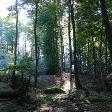
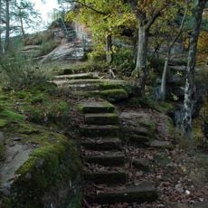
The trails to the summit are clearly marked and connect with other routes through the region's continuous ridges. Hikers should bring sturdy footwear and weather-resistant clothing, as the exposed ridgeline can be windy and conditions change quickly.
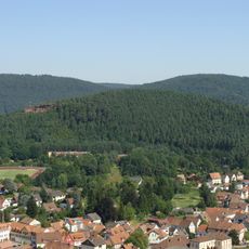
The Palatine Watershed runs directly through the summit and determines the direction in which water flows toward different river systems. This invisible boundary divides water between distinct drainage areas, making the location a meeting point of multiple watershed regions.
The community of curious travelers
AroundUs brings together thousands of curated places, local tips, and hidden gems, enriched daily by 60,000 contributors worldwide.