Schindhübel, Mountain summit in the Palatine Forest, Rhineland-Palatinate, Germany
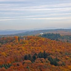
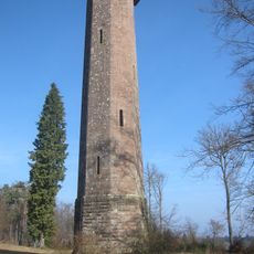
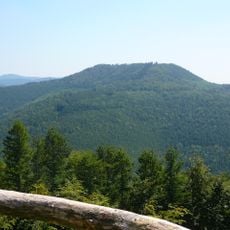
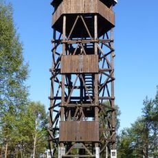
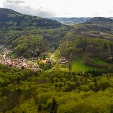
Schindhübel is a 570.7-metre hill in the central Palatine Forest, the highest point in the Bad Dürkheim district, on the wooded land of Elmstein. It lies on the Frankenweide ridge, which carries the watershed between the Moselle and Upper Rhine; the Erlenbach drains north and the Blattbach east. A 17-metre wooden observation tower built in 1975 by the Speyer pioneer garrison stands on the summit.
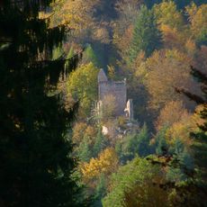
The summit's name, meaning "flaying hill", recalls that dead or diseased livestock were once skinned and buried here. Two kilometres northeast lie the wall foundations of a forester's lodge attributed to the "Jäger aus Kurpfalz", behind whom Count Palatine Johann Casimir is suspected. The 17-metre wooden tower was erected in 1975 by the Speyer pioneer garrison.
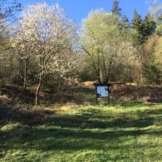
The name Schindhübel means "skinning hill": livestock that had died or been slaughtered were flayed here and the unusable carcasses buried. In flat country such a place was called a Schindanger. The summit is reached only on foot, and the 17-metre wooden tower, erected in 1975 by a pioneer garrison from Speyer, carries an information board naming those involved in the project.
The trails to the summit are clearly marked and lead through forest to the tower at the top. Good footwear is advisable since the terrain can be uneven and the climb is moderately steep.
From the 17-metre tower, built in 1975 by an engineer unit from Speyer, the view reaches the Hornisgrinde in the Northern Black Forest, 83 kilometres to the south. The Eschkopf blocks the view to the west.
The community of curious travelers
AroundUs brings together thousands of curated places, local tips, and hidden gems, enriched daily by 94,245 contributors worldwide.