Almersberg, Mountain summit in Rhineland-Palatinate, Germany
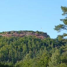
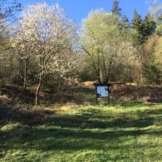
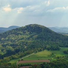
Almersberg is a 564.1 m high mountain of the middle Palatinate Forest, lying north of Rinnthal and west of Eußerthal on the territory of an exclave of Annweiler am Trifels. The Kleine Fischbach runs along its northern flank. The Höcherbergweg, the long-distance trail Staudernheim–Soultz-sous-Forêts and a red-dot marked path cross the mountain; the red-dot path circles the whole plateau and crosses itself, leading south to Rinnthal and east to Ramberg.
The sources record no historical events, dates or uses for the Almersberg; it is documented only as a 564.1 m summit in the middle Palatinate Forest. Its north flank is followed by the Kleine Fischbach stream, and the long-distance hiking trails Höcherbergweg and Staudernheim–Soultz-sous-Forêts run across it. The mountain lies on an exclave of Annweiler am Trifels, north of Rinnthal and west of Eußerthal.
The red-dot trail circling the plateau crosses itself, so walkers can choose either direction around the summit. The Höcherbergweg and the long-distance Staudernheim–Soultz-sous-Forêts path also run over the mountain, linking it to Rinnthal and Ramberg.
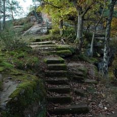
Hiking paths start from several locations around the base, with parking areas situated in the lower valleys near villages. The forest trails are narrow and best explored on foot or by bike, as vehicle access to the summit is not practical.
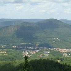
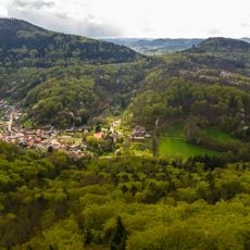
The summit provides clear views of the surrounding Rhineland-Palatinate landscape, revealing a pattern of forests, agricultural fields, and scattered settlements.
The community of curious travelers
AroundUs brings together thousands of curated places, local tips, and hidden gems, enriched daily by 94,505 contributors worldwide.