Mosisberg, Mountain summit in Rhineland-Palatinate, Germany
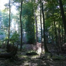
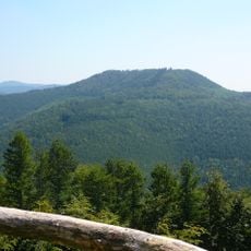
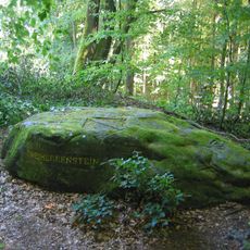
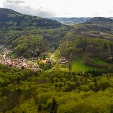
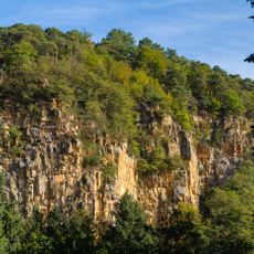
Mosisberg is a hill in the central Palatine Forest, on the territory of Hofstätten in the municipality of Wilgartswiesen. It has two domes: the eastern summit, called Langer Kopf, and the western high point, the Preußenstein, a rock named after Prussian army sentries posted there during the Coalition Wars. Its long ridge is wooded mainly with beeches and oaks.
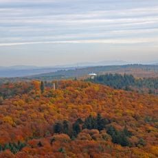
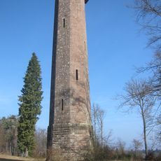
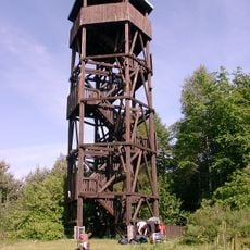
The Preußenstein, the western high point of the Mosisberg, is named after Prussian army sentries stationed on the Langerkopf during the Coalition Wars. In the 20th century a US Air Force radio relay site ran across the summit region; the asbestos-contaminated installation on the Langerkopf was fully demolished in 2017, leaving only a smaller tower in use. The site appeared in its former state in the film Lost Place.
The summit's two domes carry names tied to use and conflict: the western high point is the Preußenstein, named for Prussian army sentries posted on the Langerkopf during the Coalition Wars. Southeast of the summit lies the Mosisbruch, a high moor about 300 by 100 metres, marked at its north edge by Ritterstein 78, a stone recalling an abandoned forest farmstead.
Multiple marked trails reach the summit from different starting points, with the eastern route offering the most gradual climb. Visitors should bring weather-appropriate clothing and enough water, as the forested terrain provides limited shade and shelter.
The eastern summit dome is called Langer Kopf; the western high point, Preußenstein, is named after Prussian army lookouts stationed there during the Coalition Wars. A US Air Force radio relay site once ran across the whole summit ridge; the eastern part was demolished in 2017, and only the smaller tower still stands in use.
The community of curious travelers
AroundUs brings together thousands of curated places, local tips, and hidden gems, enriched daily by 94,217 contributors worldwide.