Neding, Mountain summit in the Palatinate Forest, Rhineland-Palatinate, Germany
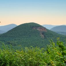
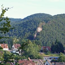
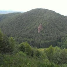
Neding is a mountain summit in Südwestpfalz reaching 336 meters in elevation, extending approximately 1250 meters from the Queichtal valley on the east to the Mischberg saddle on the west. The terrain is shaped by sandstone formations that define the character of this forested region.
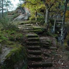
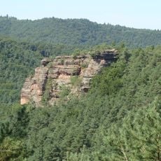
The Neding lies on the boundary between Hauenstein and Wilgartswiesen, and the ridge forms part of the Dahner Felsenland within the Wasgau. Its sandstone outcrops, including the 12 m Nedingfelsen, are recorded as natural monument ND-7340-230 in the Hauenstein municipal area. Since 2013 the certified premium trail Hauensteiner Schusterpfad has crossed the mountain.
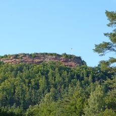
The Neding is crossed by the Hauensteiner Schusterpfad, a circular trail certified as a premium route by the German Hiking Institute and opened in 2013. The summit cross stands on the Nedingfelsen, a free-standing sandstone rock up to 12 m high. The rock band is registered as natural monument ND-7340-230 in the municipality of Hauenstein.
The mountain can be circled by road: the B 10 runs north of it between Hauenstein station and Wilgartswiesen, the L 495 passes through Hauenstein to the south, and the K 38 branches off east of the summit. The Hauenstein Mitte stop lies just west-northwest. The certified premium loop Hauensteiner Schusterpfad, opened in 2013, crosses the Neding.
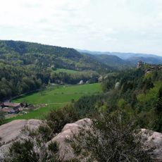
The Nedingfelsen, a free-standing rock up to 12 m high on the western side, is a designated natural monument (ND-7340-230) and carries a summit cross. From its plateau the view south takes in Hauenstein and the southern Wasgau, including the Weimersberg, Hoher Kopf, Benz and Winterberg; there is no view east because the summit is wooded.
The community of curious travelers
AroundUs brings together thousands of curated places, local tips, and hidden gems, enriched daily by 94,474 contributors worldwide.