
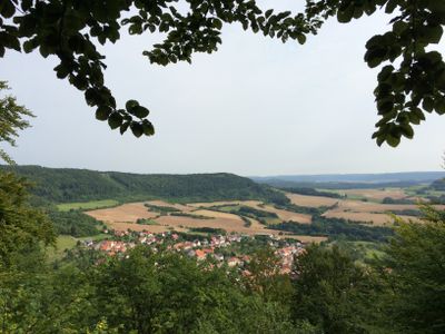
Kella, municipality of Germany
Location: Eichsfeld
Elevation above the sea: 330 m
Website: https://ershausen-geismar.de/verzeichnis/visitenkarte.php?mandat=163616
GPS coordinates: 51.22917,10.07917
Latest update: March 6, 2025 01:20
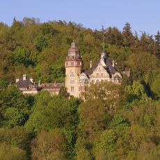
Schloss Wolfsbrunnen
3.4 km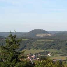
Hülfensberg
5.6 km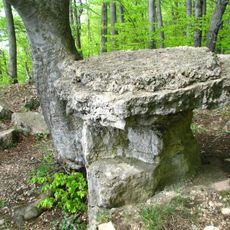
Wolfstisch bei Hitzelrode
1.8 km
Geleitstein zwischen Frieda und Großtöpfer
4.3 km
Friedatunnel
3.3 km
Burgruine Greifenstein
1.7 km
Kalkklippen der Gobert
3.8 km
Ev. Kirche
4.2 km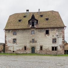
Burg Schwebda
4.3 km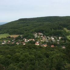
Hohestein
3.6 km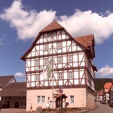
Schloss Grebendorf
2.9 km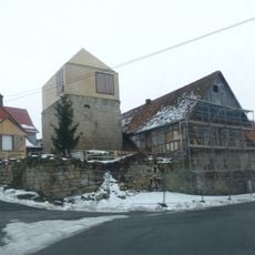
Burganlage Volkerode
3.2 km
Mönchesrieth bei Grebendorf
3.5 km
Werra-Altarm bei Schwebda
4.5 km
Hessische Schweiz bei Meinhard
3.1 km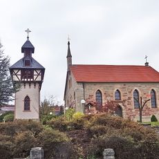
St. Martin
191 m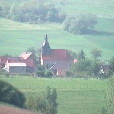
St. Michael (Volkerode)
3.3 km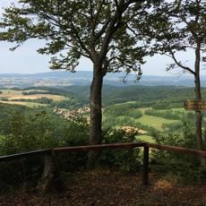
Salzfrau
1.8 km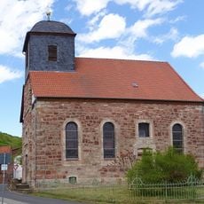
Protestant Church (Großtöpfer)
4.5 km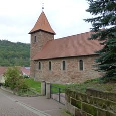
St. Simon und Judas (Sickerode)
3.8 km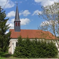
St. Aloysius (Großtöpfer)
4.6 km
Stein - Rachelsberg - Gobert
3.9 km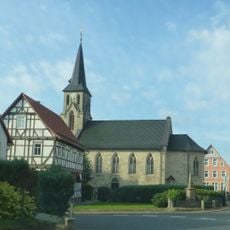
St. Bartholomäus (Pfaffschwende)
2.6 km
Ev. Kirche
2.1 km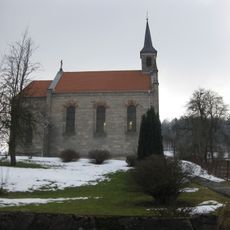
St. Martin (Lehna)
5.1 km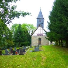
Zu allen Heiligen (Misserode)
4.7 km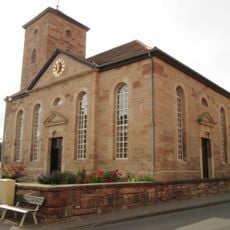
Saint George Church
2.8 km
Werraaltarm bei Schwebda
4.8 kmVisited this place? Tap the stars to rate it and share your experience / photos with the community! Try now! You can cancel it anytime.
Discover hidden gems everywhere you go!
From secret cafés to breathtaking viewpoints, skip the crowded tourist spots and find places that match your style. Our app makes it easy with voice search, smart filtering, route optimization, and insider tips from travelers worldwide. Download now for the complete mobile experience.

A unique approach to discovering new places❞
— Le Figaro
All the places worth exploring❞
— France Info
A tailor-made excursion in just a few clicks❞
— 20 Minutes