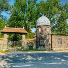
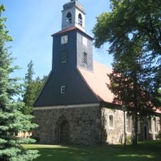
Mittenwalde, town in Dahme-Spreewald district, Brandenburg state, Germany
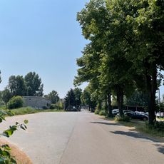
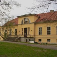
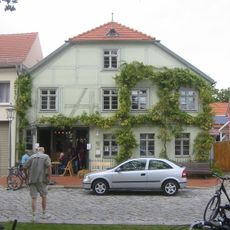
Mittenwalde is a town in Dahme-Spreewald District located southeast of Berlin, composed of a compact historic center and surrounding residential areas. The layout includes local shops, cafes, and public squares integrated throughout the built environment.
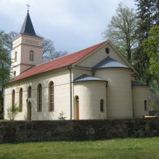
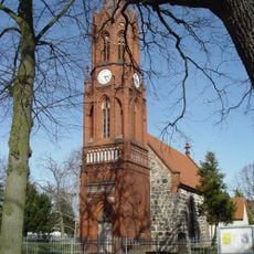
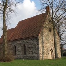
The town developed from an early medieval settlement that gained importance through regional trade and administrative functions. This heritage continues to shape the town's structure and economic character today.
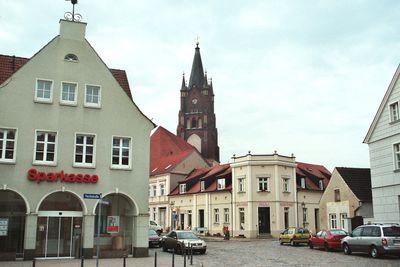
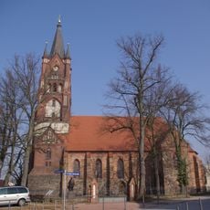
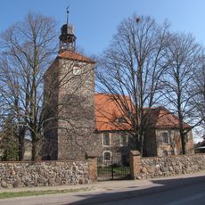
Mittenwalde reflects the character of a typical Brandenburg small town, where the market square serves as the center of daily life. Here residents meet for shopping, coffee, and local events that shape the community together.
The town center is easy to explore on foot with shops, cafes, and public squares within close distance. Weekday visits work well when local services run at full capacity and the town functions normally.
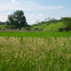
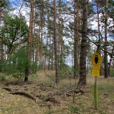
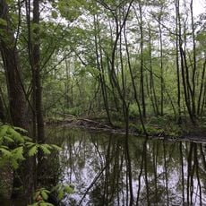
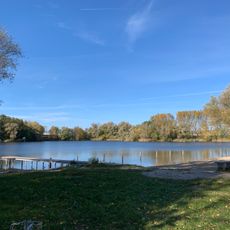
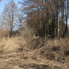
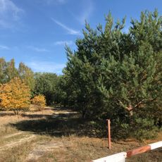
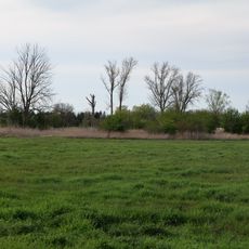
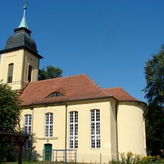
The town sits in gentle rolling terrain surrounded by lakes and forests that invite exploration. This natural setting makes the area a starting point for outings to the region's waterways and green spaces.
The community of curious travelers
AroundUs brings together thousands of curated places, local tips, and hidden gems, enriched daily by 60,000 contributors worldwide.